
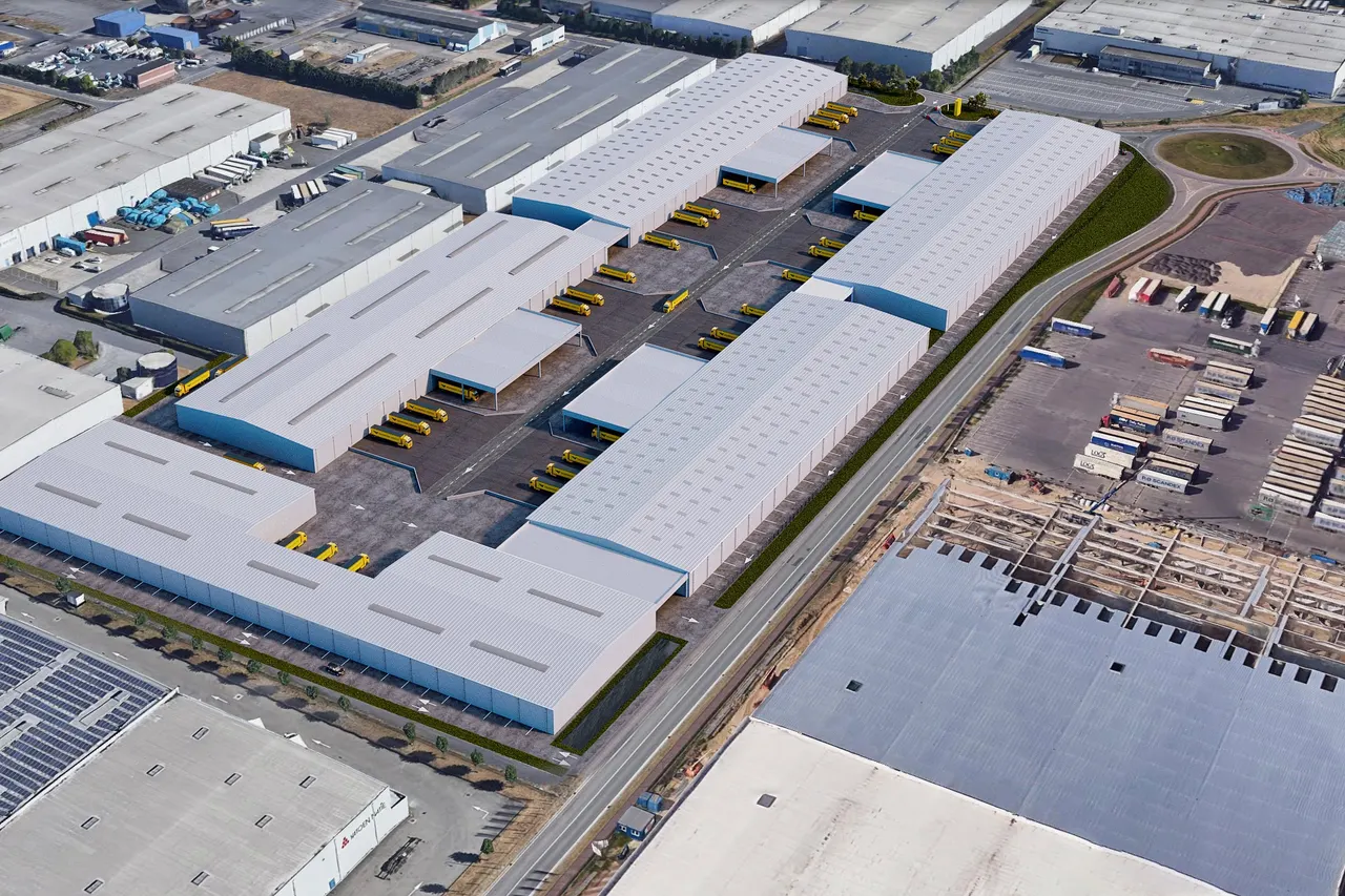
Aerial Rendering and Masterplan 3D Rendering for Developers
Bird's-eye and masterplan views for architects and developers. Renders from $199 per image.
I am a:
See pricing for what is included and what changes the price.
Aerial rendering services for architects and developers
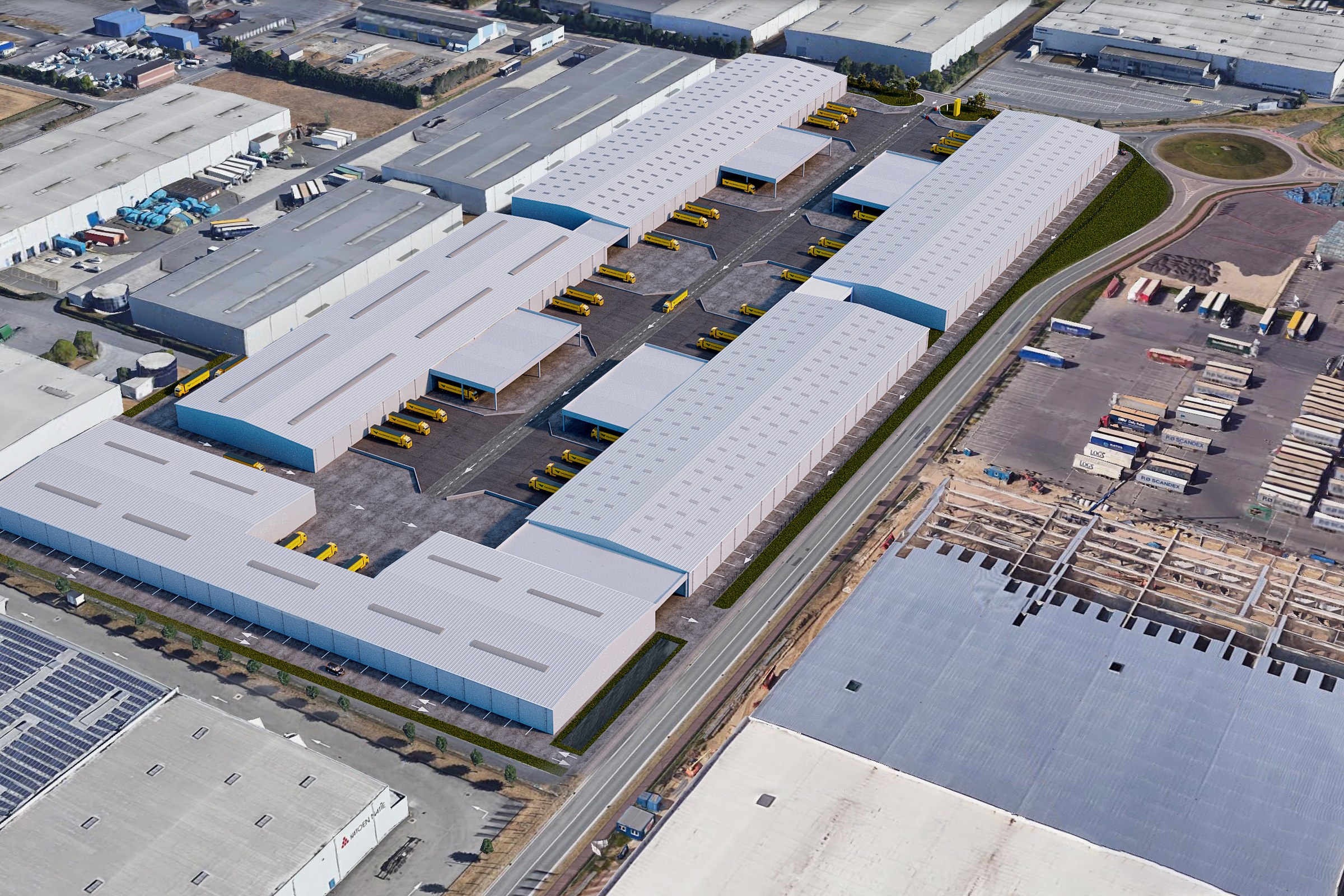
An aerial render shows a building or masterplan from above, in its real setting. It is built from your drawings and site references and delivered as final images in the formats you need. See the full guide: Aerial Rendering for Architecture: Process, Inputs, Cost. Prices are on the pricing page.
Aerial views for masterplans and developments
Aerial and masterplan views are used by US developers for investor and marketing material and by UK housebuilders for planning and marketing. They sit within our wider architectural rendering services, and the matching ground-level views are covered by exterior rendering.
What goes into an aerial render
Every aerial view starts from the masterplan or site plan you send, plus the site boundary and any phasing notes. We agree the camera height and direction first, because an aerial that is too high loses the building and one that is too low loses the context. Roads, neighbouring buildings, planting and terrain are modelled around the scheme so the viewer can read how it sits in its setting.
Aerial views are priced from $199 per image, and the final figure depends on the size of the scene, how much landscaping and context it carries and how many views you need. A first draft arrives in 3-5 business days, with finals in about 11 business days depending on scope, and two revision rounds are included. The pricing page lists what a quote covers.
When an aerial view is the right choice
Use an aerial when the question the viewer is asking is “where does this sit and how big is it”: planning submissions for a masterplan, investor decks for a phased development, sales boards for a community with shared amenities, and public consultations where neighbours want to see the scheme next to their own streets. For a single building, a street-level view usually sells better, and the two are often ordered together. Tell us at briefing which audience will see the image and we will suggest the camera height and angle, so the first draft is already close to what you need.
Aerial views next to the other views in a set
Most schemes need the aerial, a street-level exterior and often an interior or floor plan in the same style. Because the views come from one 3D scene, they stay consistent: multifamily rendering covers apartment blocks and communities, real estate rendering covers the sales set, and 3D floor plans cover the unit layouts.
Why & How
Aerial Rendering: The Challenge and Our Approach
An aerial view has to explain a whole site at once, so layout, phasing and context must read clearly from above.
The Challenge
The Problem We Solve
Why Aerial Renders Matter
A Plan Does Not Show the Whole Place
Site plans are hard for buyers, lenders and planning bodies to read. An aerial view shows how buildings, roads, open space and neighbours fit together.
Ground-Level Views Miss the Site
Eye-level images answer how a front door feels, not how phases connect or how far amenities sit from the road.
Context Is Most of the Work
At aerial scale the image is mostly site. Terrain, roads, trees and neighbouring buildings need as much care as the building itself.
Our Approach
How We Work
How We Build an Aerial Render
Inputs
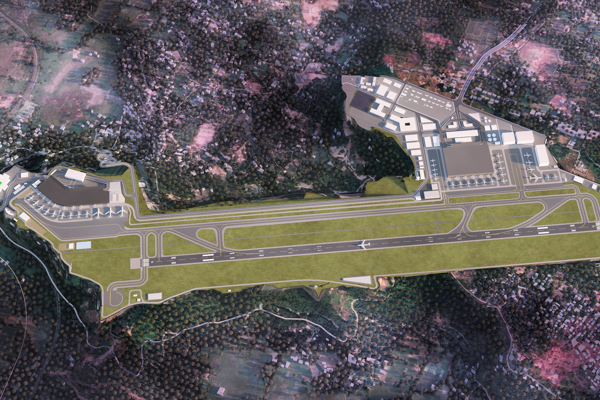
From Site Plan to Working Scene
We start from your site plan, drawings and 3D model, plus site photos or satellite imagery, then agree what the image needs to say.
- Site plan, elevations and model reviewed
- Materials, landscape and planting references collected
- Purpose confirmed: planning, sales or investor material
Camera
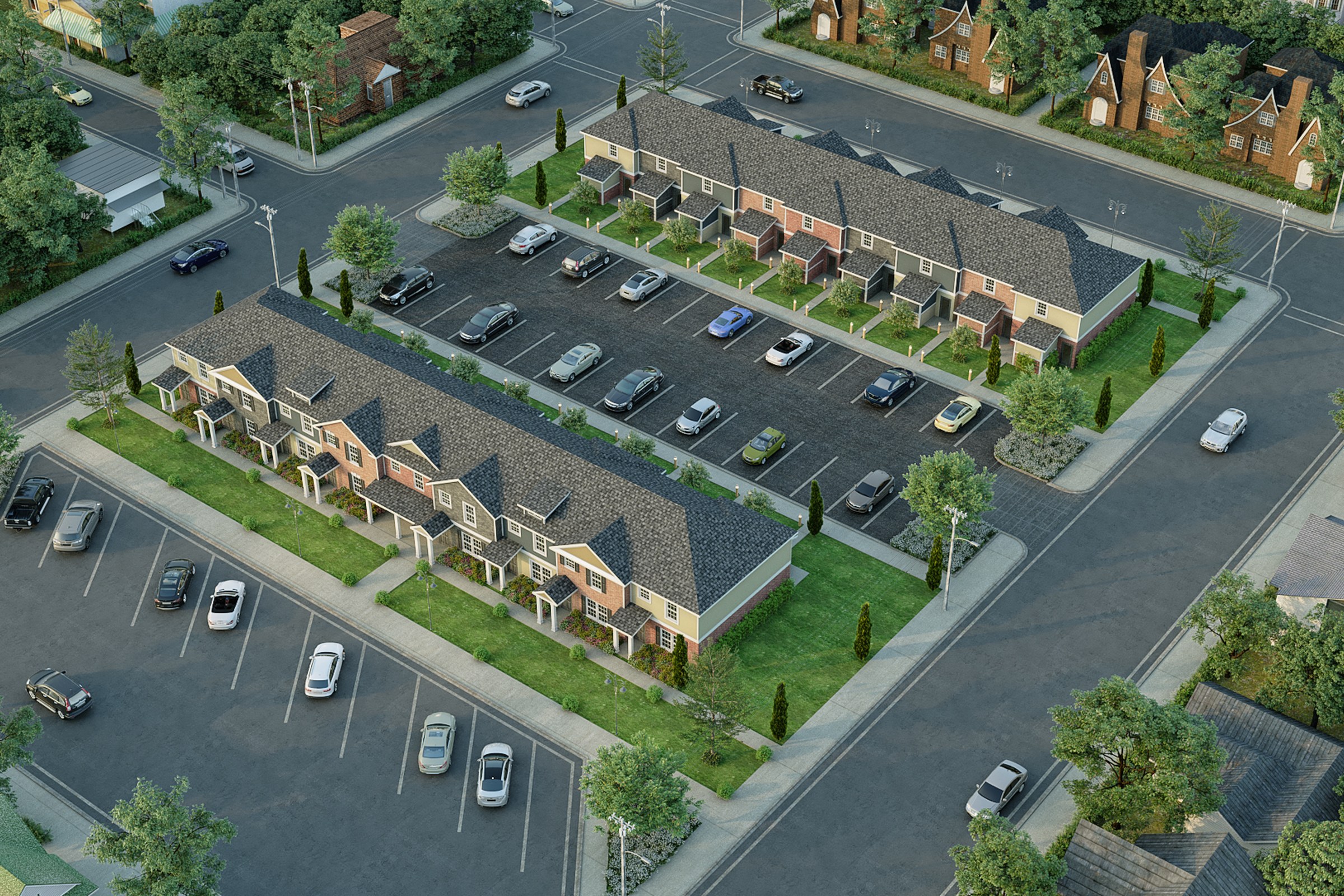
The Camera Decides What the Image Says
A high, steep view reads like a plan and suits masterplans. A lower oblique view feels like a photograph and shows facades. We agree height, direction and time of day before detailed work.
- Camera shared as a rough view first
- Sun direction checked against the facades that matter
- Day or dusk direction confirmed
Revisions
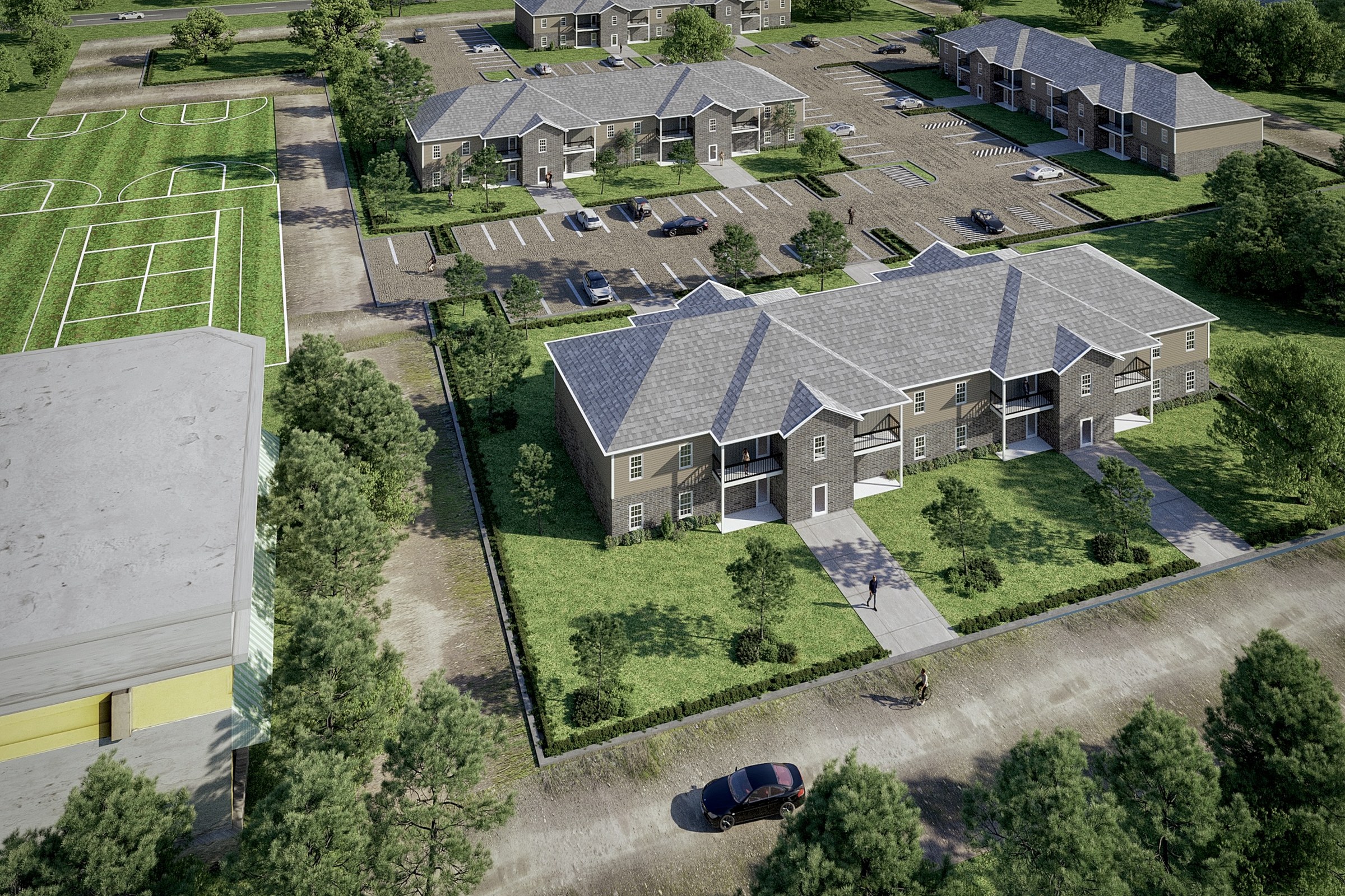
Two Rounds of Revisions
Two revision rounds are included, so feedback on materials, planting and details is handled inside the quoted price.
- Markups on the image or in a short call
- Changes tracked against your notes
- Extra rounds available at a pre-agreed rate
What You Get
Aerial Rendering Deliverables and Uses
Aerial work is delivered as bird-eye stills of the site and surroundings, and as masterplan views at the scale you need.
What We Deliver
Who This Is For
Who This Is For
Who Commissions Aerial Rendering
Sales Gallery and Phasing
Show amenities, phases and access in one frame for brochures, sales galleries and investor decks.
Planning and Competition Boards
Show massing, rooflines, courtyards and the relationship to context for planning submissions and competitions.
Landscape / Masterplan Team
Circulation and Open Space
Show parking, paths, green coverage and water in a single view of the whole site.
Portfolio
Aerial and Masterplan Work in Our Portfolio


Showing 11projects
How It Works
Our Aerial Rendering Process
An aerial job starts from your site plan and context data, sets the viewpoint, then builds landscape and massing before final images and two revision rounds.
Site and masterplan intake
Send the masterplan, site boundary and phasing notes. We agree the aerial angles and what the image must show.
Massing and landscape
We build the scheme in context with roads, planting and neighbours, and share a first-draft aerial in 3-5 business days.
Revisions and delivery
Two revision rounds are included. Final aerials ship for brochures, boards and sales sites.
Aerial and masterplan views are produced in 3ds Max with Corona and V-Ray, and the 3ds Max scene files are handed over on payment.
Pricing & Questions
Aerial Rendering Pricing and FAQ
Aerial renders are priced per image from $199, and the final quote depends on site size and the amount of landscape and context.
Investment Philosophy
Pricing
Aerial Render Pricing From $199 Per Image
Price depends on site size, number of buildings, landscape detail and source files. You get a clear quote before any work begins.
Get a QuoteNot sure yet? Start with a single image from $199, or see the full price list.
Per-Image Pricing
Still renders start from $199 per image, with two revision rounds included.
Scope-Matched
Large sites with many buildings and detailed context need more modelling than a single plot, and the quote reflects that.
Revisions Included
Two rounds of revisions are part of every quote.
Common Questions
What is an aerial render in architecture?
A photorealistic 3D image of a building, site or masterplan seen from above, usually from a bird's-eye or oblique angle. It shows layout, context, landscape and circulation in a way plans and ground-level images cannot.
How much do aerial renders cost?
Renders start from $199 per image. The final price depends on site size, number of buildings, landscape detail, surrounding context and revision rounds, and you get a quote before work begins.
What do you need from us to start an aerial view?
A site plan and, if you have one, a 3D model in CAD, Revit or SketchUp. Add elevations, a materials list, the landscape plan, site photos or satellite imagery, and a note on the camera direction and time of day you prefer.
Can one aerial view be used for planning and for sales?
Yes, the same view can support a planning or community presentation and a sales brochure. Tell us the purpose up front so the camera, lighting and level of detail suit the audience.
Can the model be reused for ground-level images or an animation?
Often yes, because the buildings and site are already built. Extra views or a flythrough are scoped separately, but reusing the scene reduces the work involved.
How do revisions work?
You receive a draft view and mark it up. Two rounds of revisions are included. Approving the camera early lets later rounds focus on materials, planting and details.
Which markets do you work with?
Architects and developers in the US, UK and Europe. Our working hours overlap with US and UK mornings, and we handle both metric and imperial drawings.
Related Services
Pair Aerial Rendering With
Aerial views are often paired with ground-level exteriors of the same development.
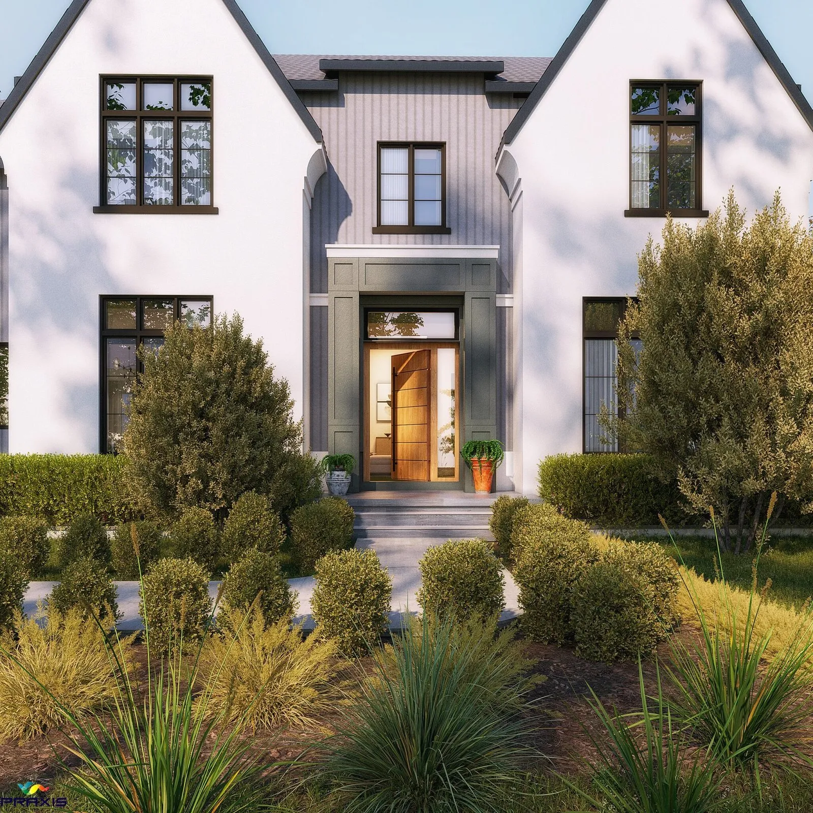
3D Architectural Exterior Rendering Services
Photoreal exterior renders that communicate design intent and build buyer confidence.
Explore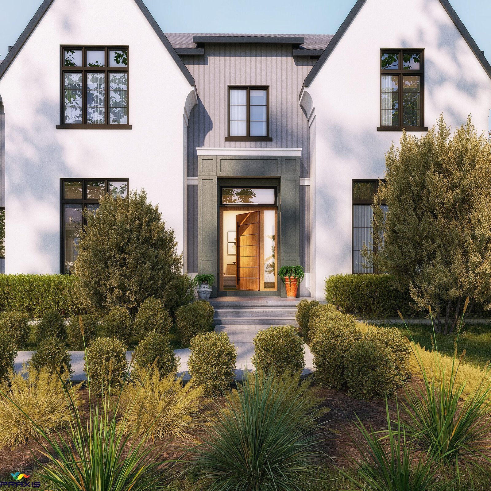
Architectural Rendering Services for Architects & Developers
Architectural rendering services covering exterior, interior, aerial and animation, from $199 per image.
Explore
Landscape Rendering Services for Architects and Developers
Gardens, courtyards, parks and streetscapes shown as they will look, from $199 per image.
Explore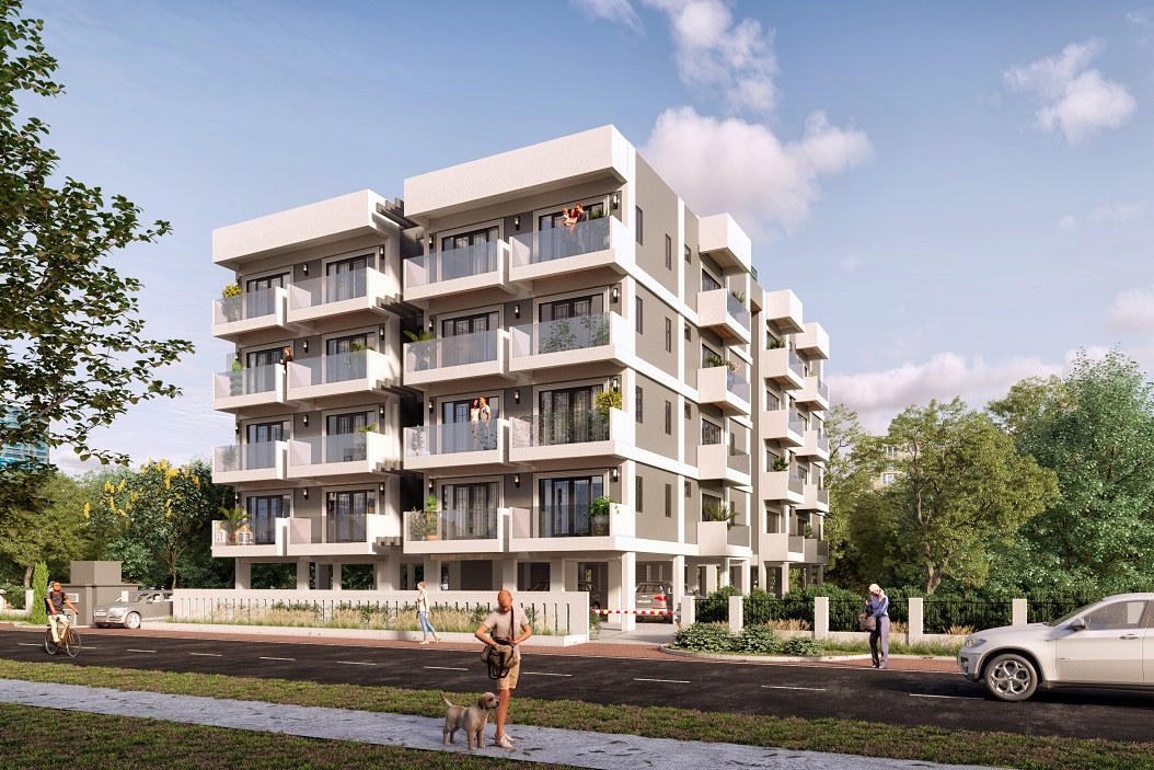
Multifamily & Apartment Rendering Services for Developers
Apartment, townhouse and condo renders for pre-leasing and sales, from $199 per image.
ExploreReal Projects
Case Studies
See how we've applied this service to real architectural projects.
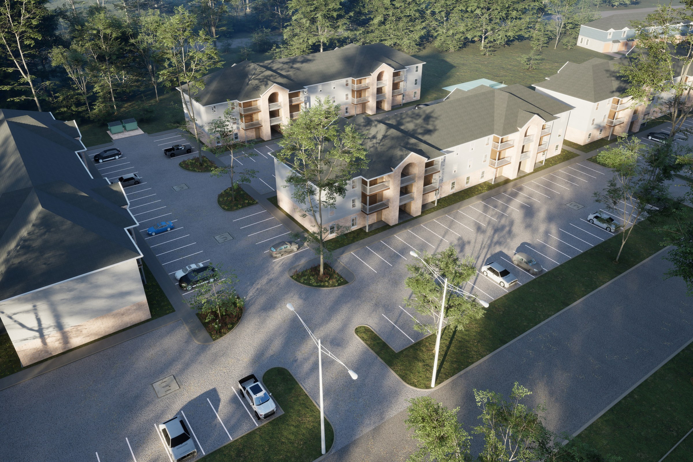
Garden Apartment Community — Aerial Rendering Case Study
Photoreal aerial masterplan renders, multiple viewpoints, marketing-ready output
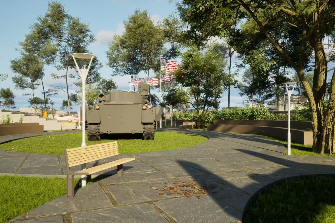
Veterans Memorial Park — Landscape Rendering Case Study
Photoreal landscape outdoor renders, multiple viewpoints, marketing-ready output

Unlock Central Square — Mixed-Use Rendering Case Study
Exterior renders, interior renders, aerial perspectives
What clients say on Trustpilot
“Great renderings! Fast response and pleasant to work with. They are my "go to" for renderings!”
 Paul MAug 23, 2024
“Good work and on time.”
“We have worked with Dhaval on numerous projects. He has never failed to meet the timescales or our high expectations.”
Get a quote for your aerial views
Send the masterplan and site boundary. Aerial renders start from $199 per image, with two revision rounds included.


