
Trade Counter & Warehouse Unit
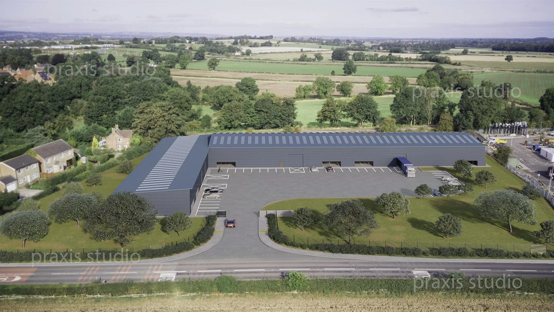
A metal-clad unit with nowhere to hide — panel coursing, shutter detail and roof-light proportion, set into real aerial photography and then into a street plate.
A simple building is the hardest kind to fake. There is no ornament to carry it — only whether the panels, the shutters and the roof lights are the ones on the drawings.
Trade Counter & Warehouse Unit
- Industrial & Trade Counter Visualization
- Aerial Photo Composite
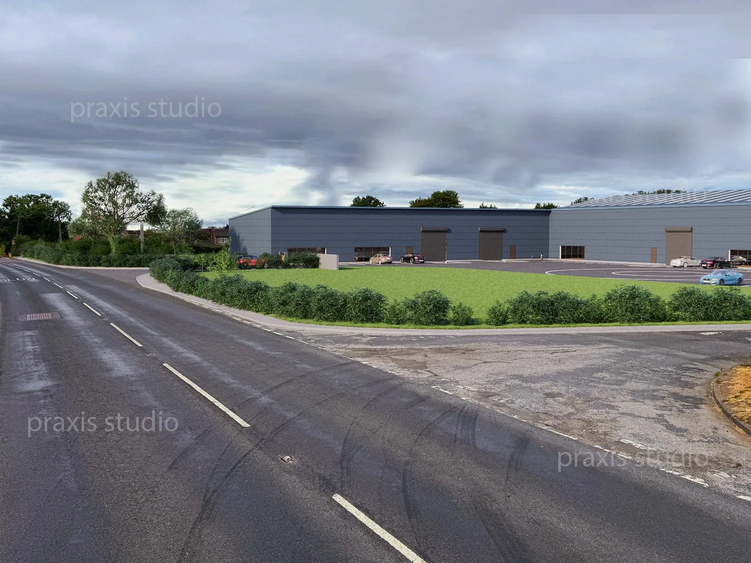
- Street-level Composite
- Yard & Boundary Modelling
- Iterative Revision
- Aerial Bird Views
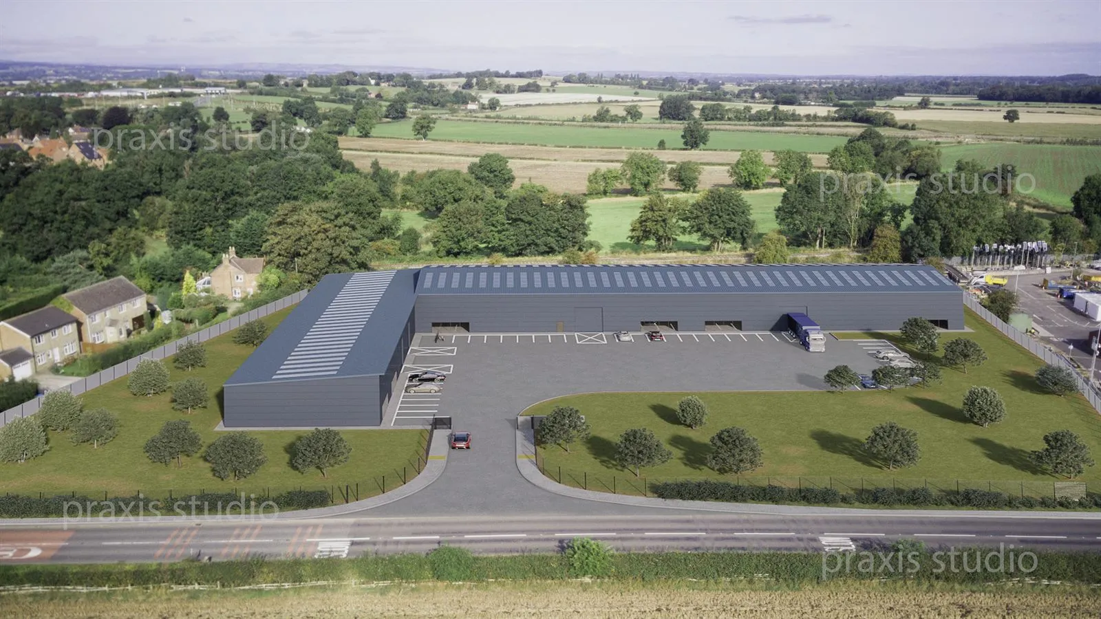
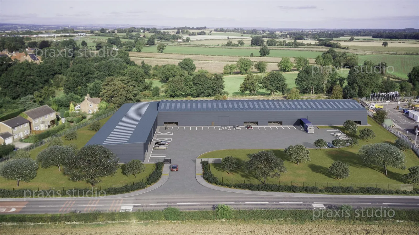
- Bird View Option Study
- Ground & Context Views
- Street-level Composite
- High-resolution Imagery
A drawing set, and a building to match
The scheme arrived as a numbered drawing set with its own revision history — a landscape proposal, plan revisions issued across more than a year, and CAD. Alongside it came site photographs and a link to a built unit the client had already delivered, with the instruction to match it.
That mix matters. Part of the specification was drawn, part of it was photographed, and the reply had to honour both without inventing the difference.
Four problems, held at once
A shed is all detail
A metal-clad unit gives you nothing to hide behind. Panel coursing, roof-light proportion, the way a roller shutter actually sits in its opening — get any of them wrong and the whole image reads as generic.
Composite scale
The scheme sits in real aerial photography beside existing houses. The client checked our merge against a supplied section and told us it read too large — a scale error is invisible until someone measures it.
Detail from photographs
Some of the specification did not arrive as drawings. Shutter finish and fencing came as site photographs and a built precedent the client asked us to match.
Aerial and eye level
The same unit had to hold up seen from above, where the yard, boundary and circulation dominate, and from the road, where the panel coursing and the shutters sit a few metres from the viewer. One model, two very different tolerances.
Nine stages, drawings to street plate
- 01Read the numbered drawing set and revisions
- 02Model the unit, yard and boundary from CAD
- 03Plant to the landscape proposal
- 04Match the aerial plate for perspective and light
- 05Issue draft views for markup
- 06Correct panel, shutter and roof-light detail
- 07Rescale the composite against the supplied section
- 08Issue an option study on the approved view
- 09Add the boundary treatment to the street view on request
Nine corrections, and a scale check
The client's markup was specific to the millimetre of intent: windows need 4 divisions as per elevations · reduce length of roof windows to take up only 1/3 of roof slope · roller shutter doors to be the same finish and material as the wall panels, with no roller apron above the door — they roll internally · boundary and sliding gate to have black fencing, 2.4m high. And one that catches most studios out: check the scale of the photomerge against the provided section of the houses to the left — it looks larger than I anticipated. Drag to compare an early issue against the approved view.
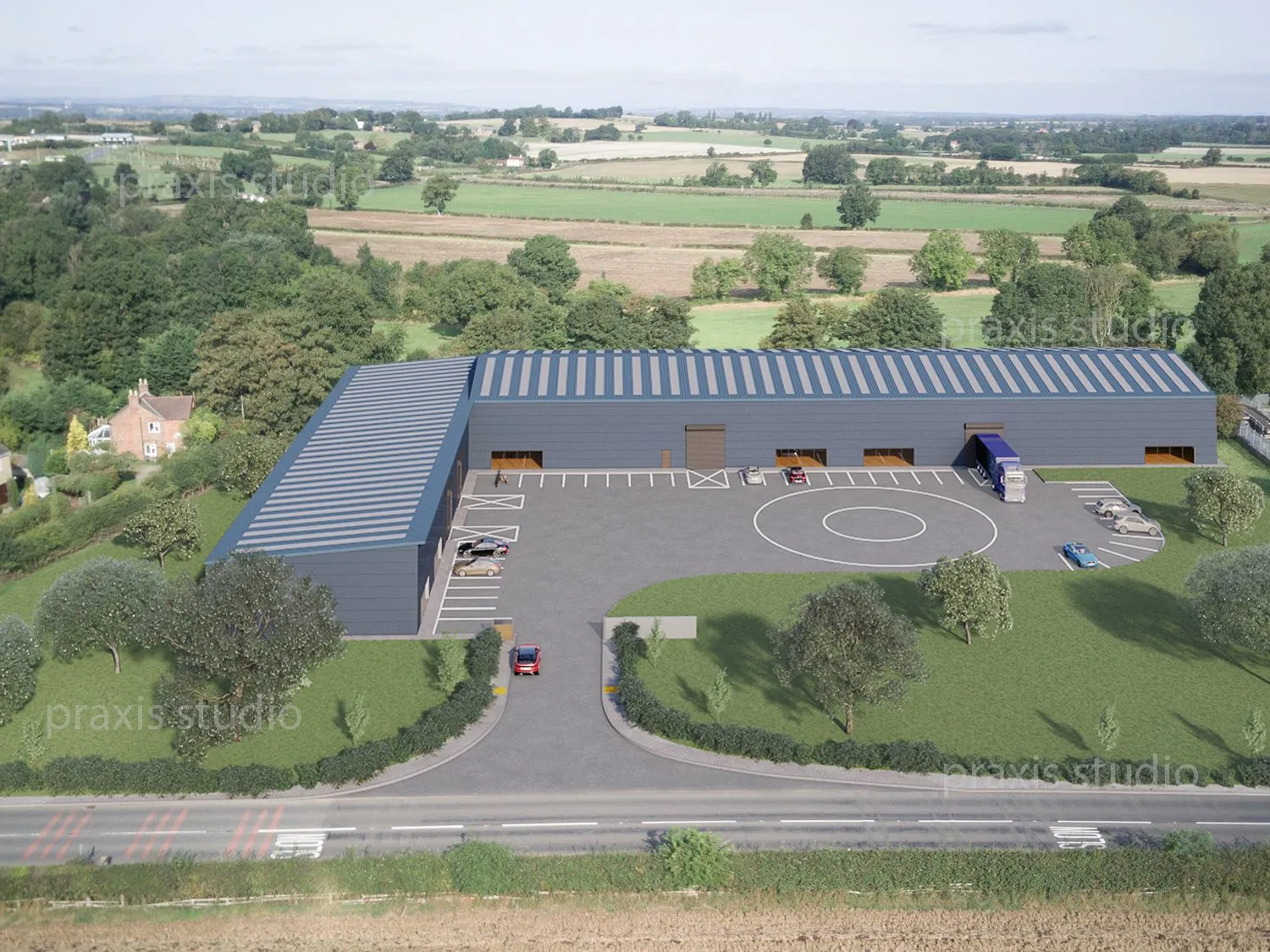
- Drone view framed wider to show the full plate
- Turning circle removed
- Planting density raised to the landscape scheme
- Floor read through glazing set to mid grey
- Window divisions corrected to the elevations
- Roof lights reduced to a third of the slope
- Roller shutters matched to the wall panel finish
- Roller apron removed — shutters roll internally
- Boundary and sliding gate set to black fencing at 2.4m
- Composite rescaled against the supplied section
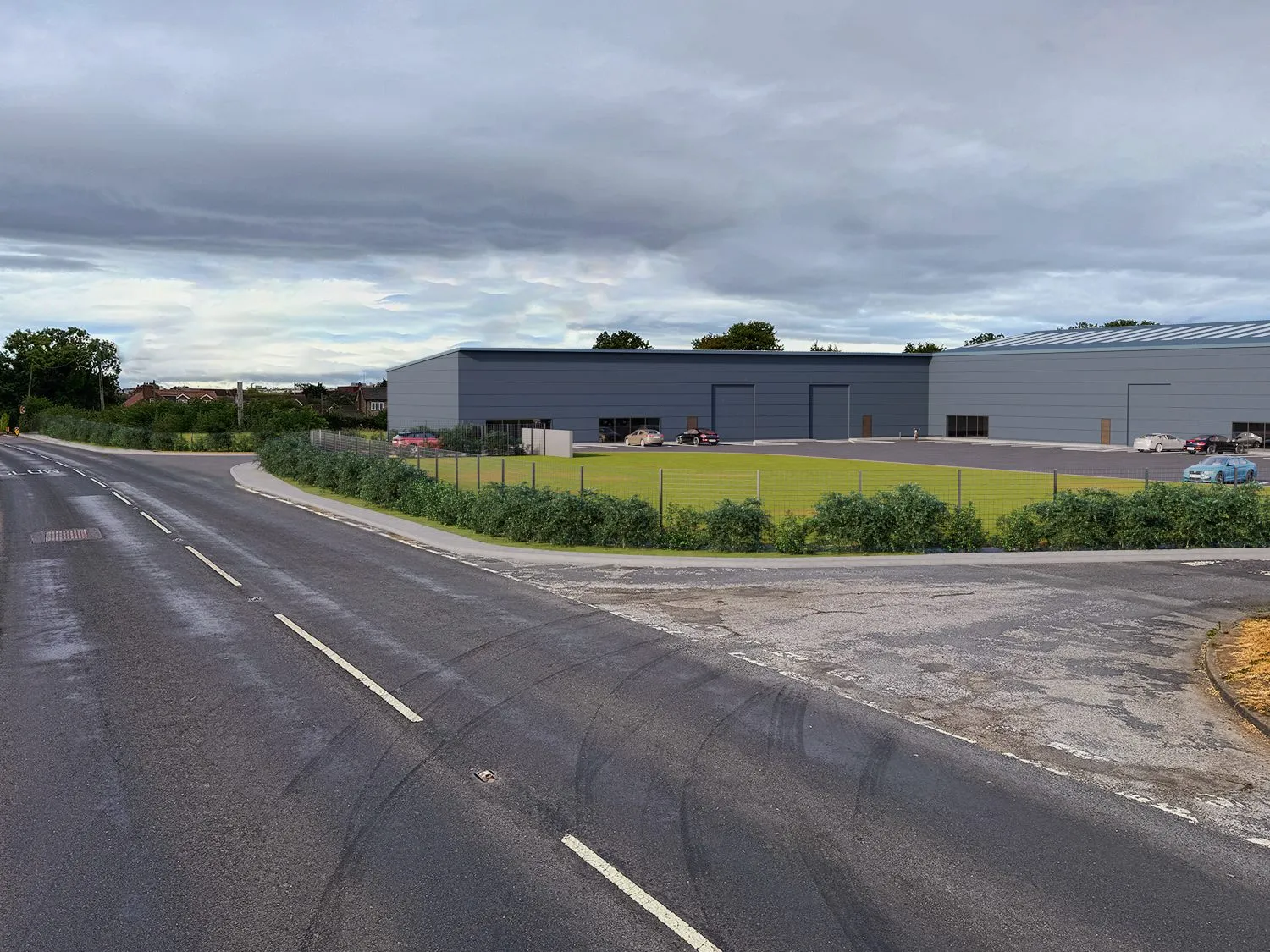
"Can you drop this onto the street view for me now it's nearly there."
Asked at 10:49. Back at 12:40 the same morning, boundary fencing added along the hedge line, from the model already standing.
- Asked at 10:49
- Back at 12:40
- Same morning
- 1h 51m
The production set
What the record actually shows
Twelve delivered renders across eight issue dates. Detail taken from the elevations, finish taken from the client's own photographs, composite scale checked against a supplied section — and a final request answered the same morning it was made.
- Detail taken from elevations
- Finish taken from photographs
- Scale checked against a section
- Option study on one camera
- Nine items closed together
- Boundary added on request
- Same-day final request
- Returned in 1h 51m


