Manhattan Rooftop Addition
Modern Site Plan Visualization
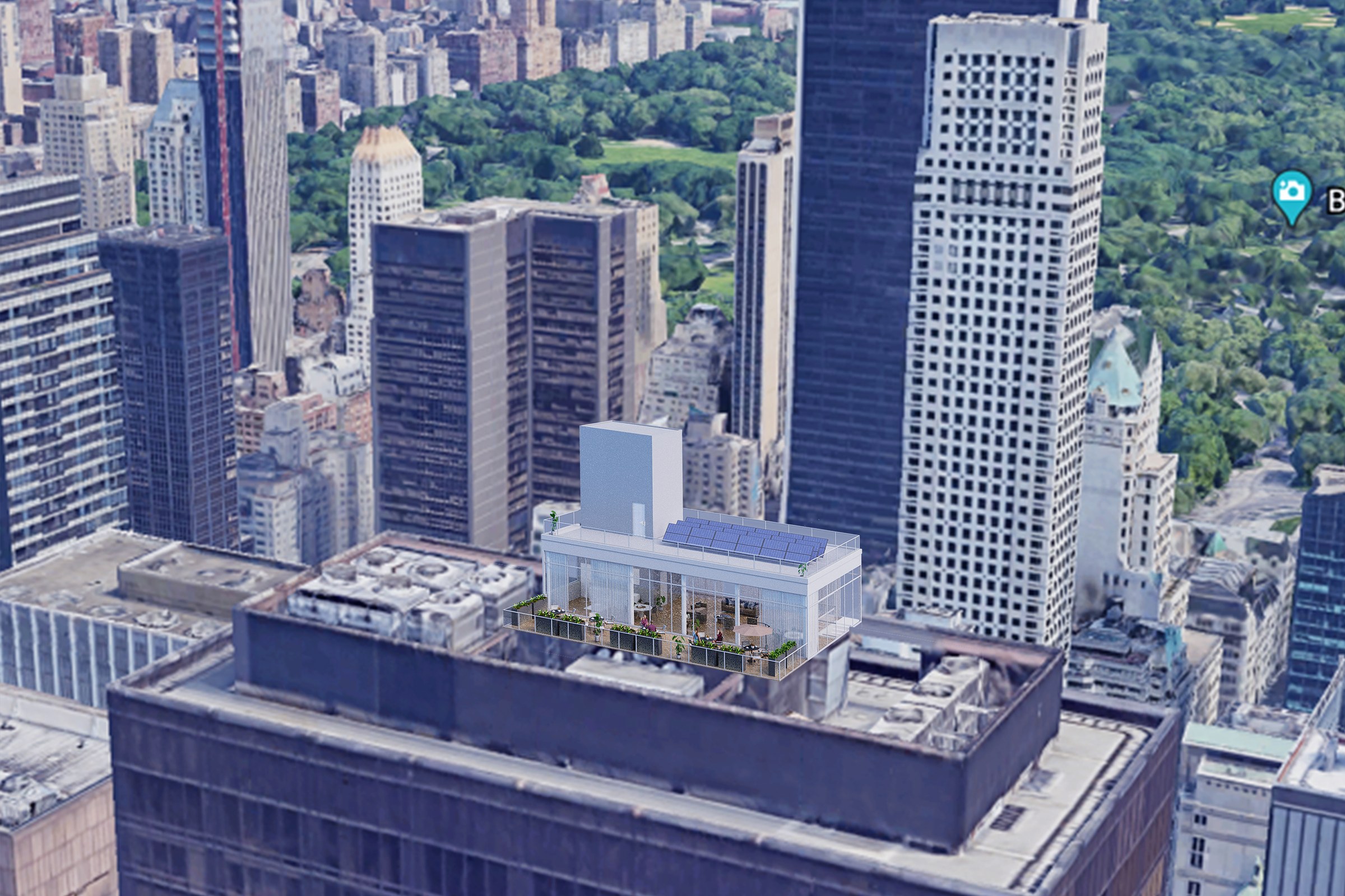
Aerial view showing a rooftop addition or penthouse structure atop a Manhattan skyscraper with Central Park and surrounding high-rises visible in the background.
Project Overview
A master plan project in Boston, MA, Manhattan Rooftop Addition came to us at the stage where the design was locked and the client needed one image — the definitive view — for their launch materials.
Aerial view showing a rooftop addition or penthouse structure atop a Manhattan skyscraper with Central Park and surrounding high-rises visible in the background.
The Result
The final output landed within 1-2 weeks. Clean, high-resolution, ready for print and screen. It’s been the visual backbone of this project’s public-facing materials.
Thinking about visualization for your next project? Reach out — we respond within 24 hours. Or keep exploring.


