Wheatly Park Basketball Courts
Modern Site Plan Visualization
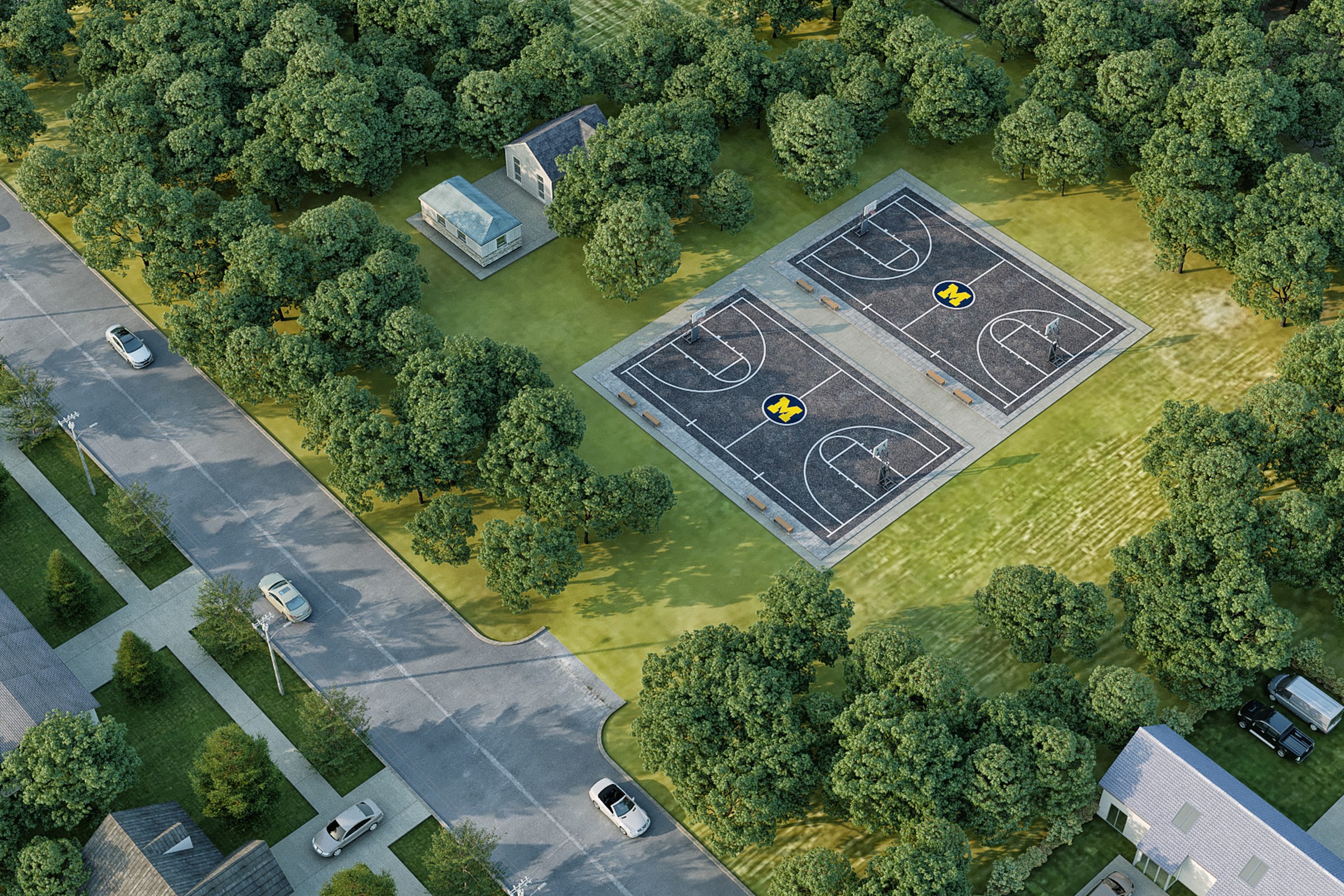
Birds-eye aerial render of a small neighborhood park with two basketball courts surrounded by dense mature trees and adjacent residential streets.
Project Overview
This one’s straightforward in scope but not in ambition. Wheatly Park Basketball Courts required a single render that could represent weeks of design work in one frame.
Birds-eye aerial render of a small neighborhood park with two basketball courts surrounded by dense mature trees and adjacent residential streets.
The Result
The final output landed within 1-2 weeks. Clean, high-resolution, ready for print and screen. It’s been the visual backbone of this project’s public-facing materials.
Working on something similar? Let’s talk about your project — or browse more of our work.


