Twin Highrise Towers
Modern Commercial Development Visualization
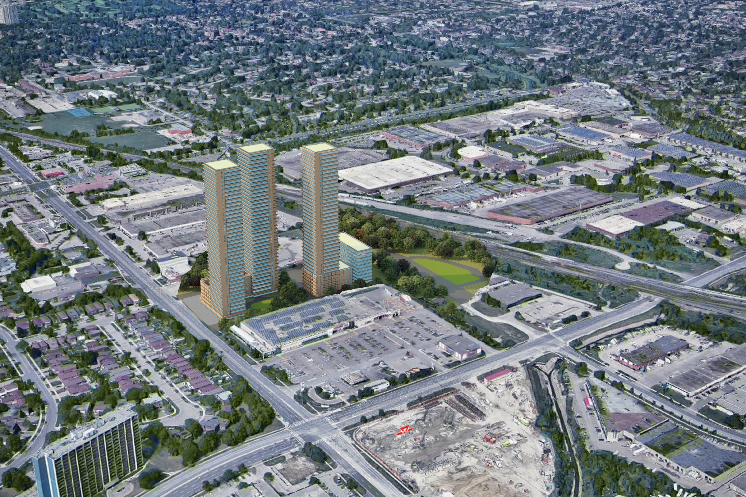
Aerial render of twin high-rise residential towers rising above a suburban urban fabric with surrounding low-rise neighborhoods and infrastructure.
Project Overview
Not every project needs a dozen views. Twin Highrise Towers called for one carefully considered image — the kind that stops a client mid-scroll and gets a meeting scheduled.
Aerial render of twin high-rise residential towers rising above a suburban urban fabric with surrounding low-rise neighborhoods and infrastructure.
The Result
The final render was delivered within 1-2 weeks — on time, on brief, ready for immediate use in the land development company’s marketing and approval workflow.
Got a project that needs this kind of visual clarity? Get in touch or see more examples.


