Townhome Courtyard Community
Traditional Residential Community Visualization
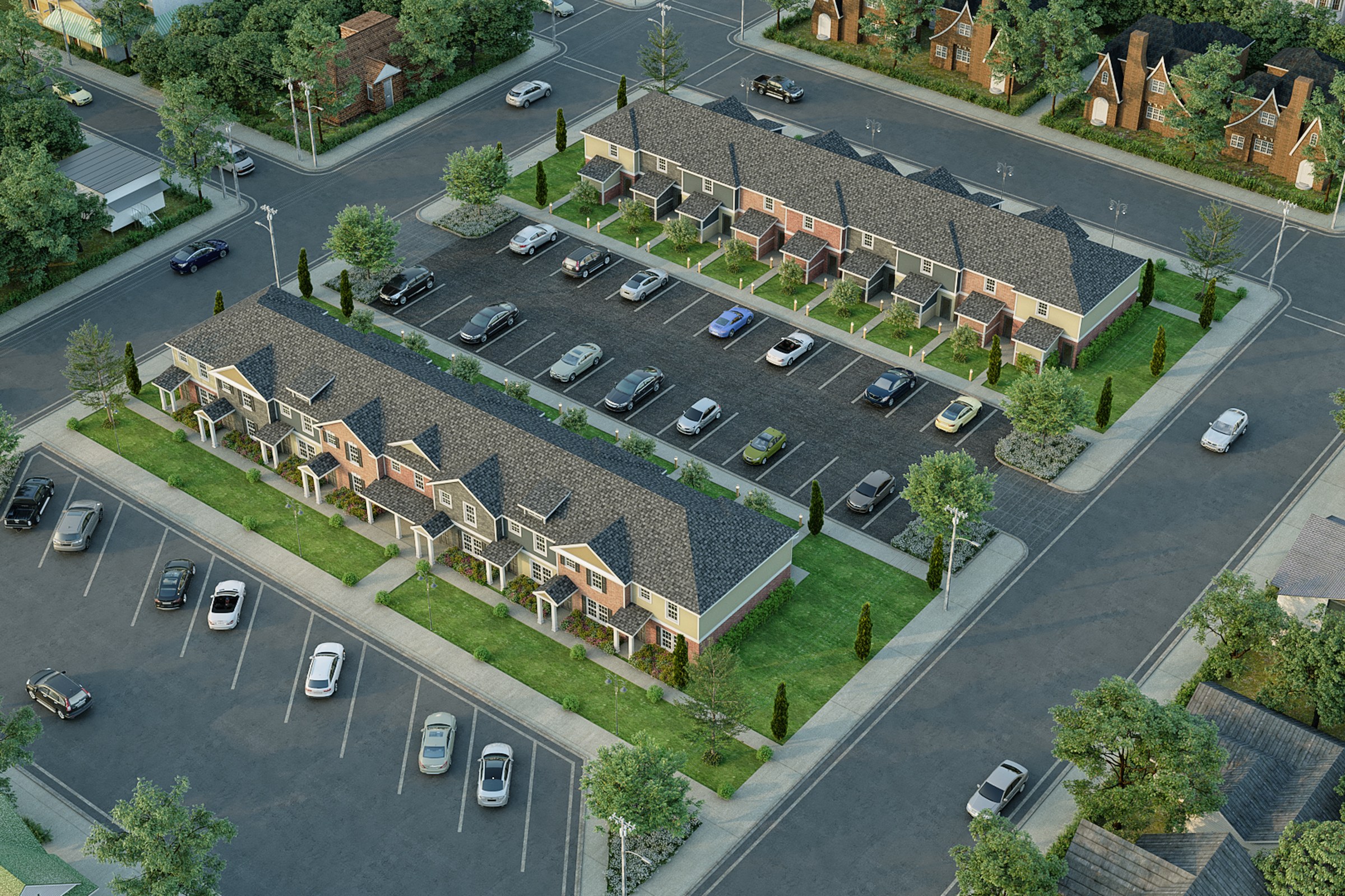
Dusk aerial render of a townhome community arranged in two symmetrical rows with a central courtyard parking area, traditional brick and shingle roofing, surrounded by a residential neighborhood.
Project Overview
Townhome Courtyard Community was a quick-turn engagement. The urban planning firm had a design they were proud of and needed it visualized — no extras, just one precise, photorealistic render.
Dusk aerial render of a townhome community arranged in two symmetrical rows with a central courtyard parking area, traditional brick and shingle roofing, surrounded by a residential neighborhood.
The Result
We delivered the finished image within 1-2 weeks. It’s since been used across the project’s marketing materials, from digital listings to printed collateral.
Working on something similar? Let’s talk about your project — or browse more of our work.


