Suburban Single Family Community
Contemporary Residential Community Visualization
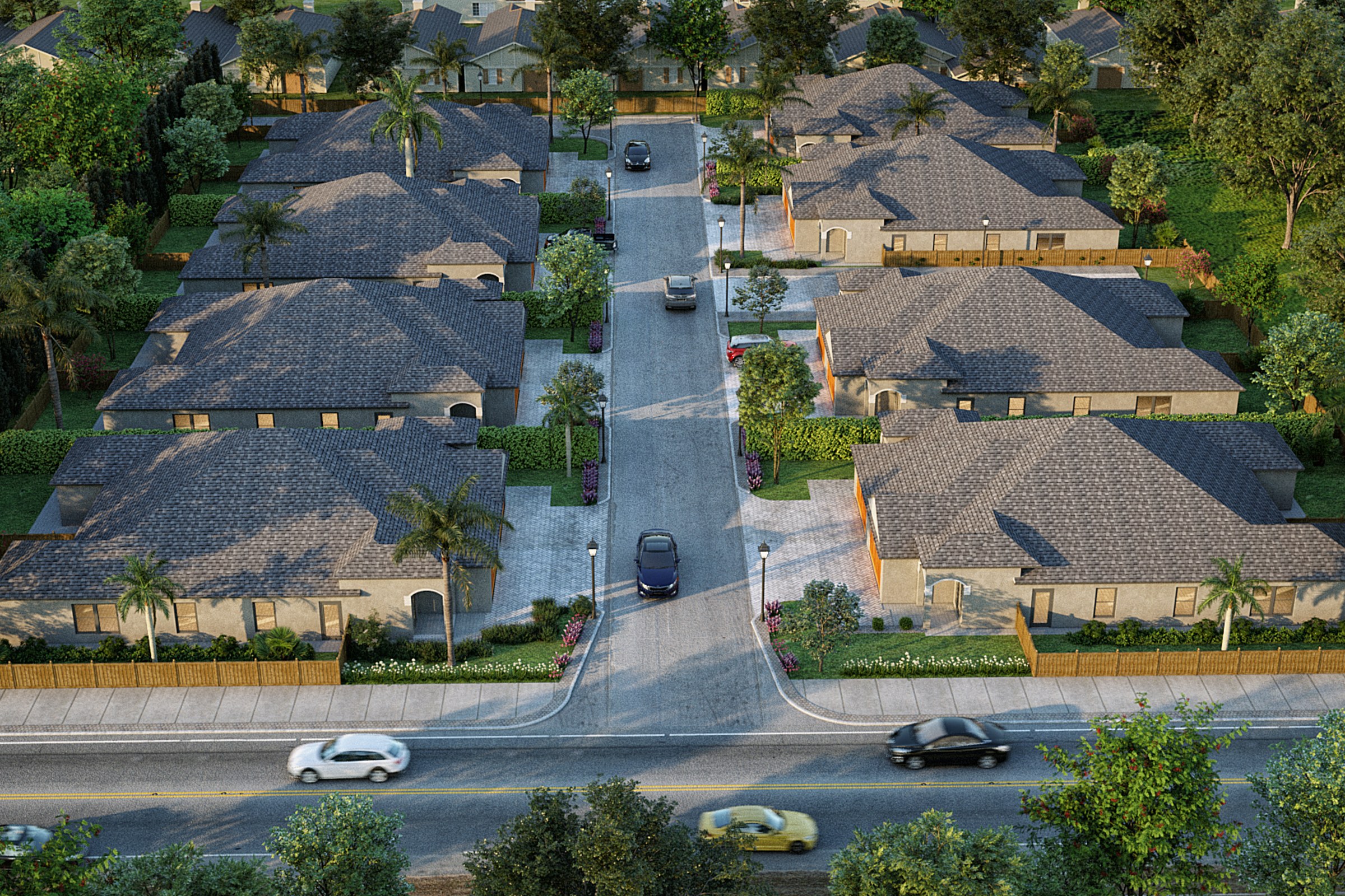
Golden-hour aerial render of a single-family residential subdivision with rows of homes featuring dark tile roofs, palm trees, driveways, and a main road at the bottom.
For our recent project, the aerial masterplan of a suburban single-family community, our client sought a comprehensive visualization that would effectively communicate their vision to potential investors and local planning authorities. They needed an engaging representation that highlighted the community’s layout, green spaces, and connectivity, ensuring that stakeholders could easily grasp the project’s potential impact on the neighborhood.
Our approach to this rendering was centered around creating a photorealistic depiction that not only showcased the architectural elements but also emphasized the lifestyle that the community would offer. We meticulously crafted the aerial view to include lush landscaping, pedestrian pathways, and communal areas, all designed to evoke a sense of belonging and tranquility. By integrating these elements, we aimed to present a holistic view of the community, making it more relatable and appealing to prospective buyers and investors.
In terms of technical execution, we utilized advanced software such as Autodesk 3ds Max and V-Ray to achieve stunning realism in our renderings. Our team paid close attention to the lighting, simulating natural sunlight to create dynamic shadows and highlights that brought the scene to life. We selected high-quality materials that reflected the intended finishes of the homes and public spaces, ensuring that every detail was accurately represented. This meticulous attention to detail was crucial in creating a compelling visual narrative.
The final result was a striking aerial masterplan that not only met but exceeded our client’s expectations. The visualization played a pivotal role in securing planning approval, as it effectively illustrated the community’s benefits and integration into the existing landscape. Additionally, it served as a powerful marketing tool, helping our client attract potential investors and buyers by vividly showcasing the lifestyle and opportunities that the new community would provide.
Project Overview
Sometimes a single image is all it takes to make a design click. That was the brief for Suburban Single Family Community — one hero render that would carry the weight of the entire presentation.
Golden-hour aerial render of a single-family residential subdivision with rows of homes featuring dark tile roofs, palm trees, driveways, and a main road at the bottom.
The Result
The final render was delivered within 1-2 weeks — on time, on brief, ready for immediate use in the urban planning firm’s marketing and approval workflow.
If this is the kind of quality you’re after, start a conversation with us. Or explore the full portfolio.


