Suburban Apartment Community
Traditional Residential Community Visualization
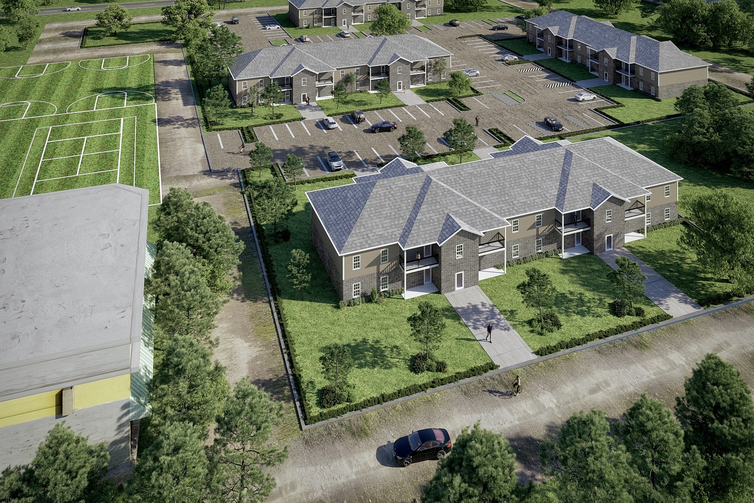
Aerial render of a cluster of two-story apartment buildings with pitched roofs, parking areas, adjacent sports fields, and surrounding trees.
Project Overview
When urban planning firm reached out about Suburban Apartment Community, the scope was intentionally tight. One render. No gallery. Just the strongest possible version of this master plan design.
Aerial render of a cluster of two-story apartment buildings with pitched roofs, parking areas, adjacent sports fields, and surrounding trees.
The Result
Delivered within 1-2 weeks, the render slotted straight into the urban planning firm’s pitch deck and has been their lead visual for the project.
If this is the kind of quality you’re after, start a conversation with us. Or explore the full portfolio.


