Small Town Commercial Building
Modern Site Plan Visualization
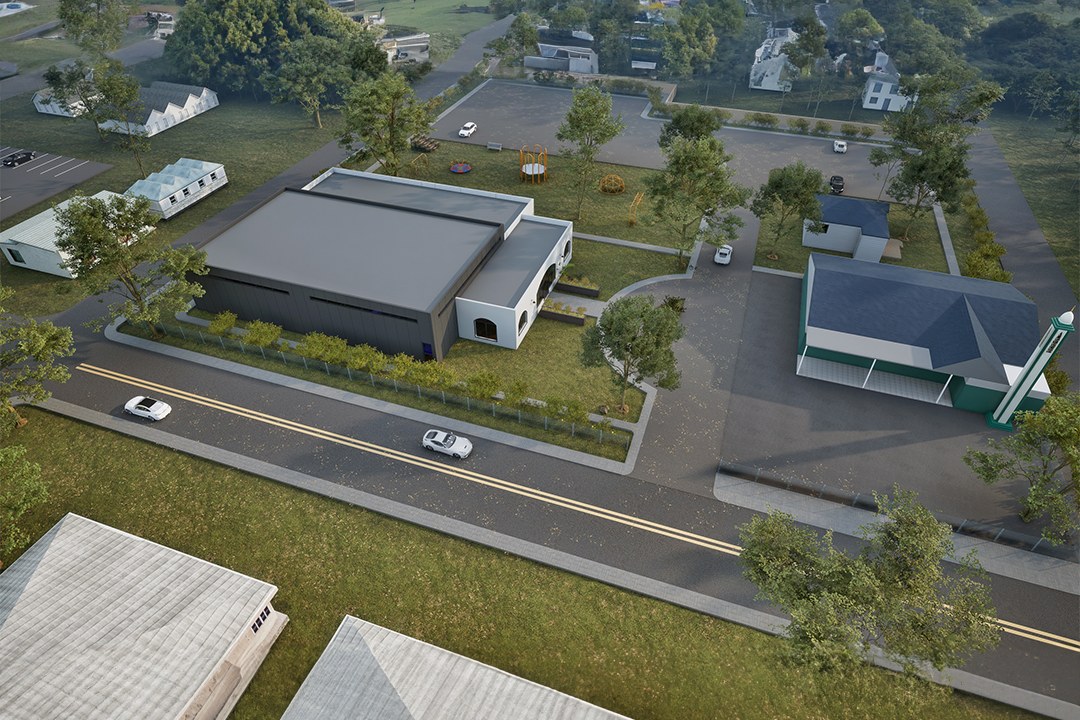
Overcast aerial render of a modern dark-roofed commercial building with arched entrance on a small-town main road, adjacent to a green-roofed older building, surrounded by residential homes, greenhouses or agricultural structures in the foreground, and flat rural landscape extending to the horizon.
Project Overview
We picked up Small Town Commercial Building as a focused engagement: one hero image for a master plan project in Barcelona, Spain. Short timeline, high bar for quality.
Overcast aerial render of a modern dark-roofed commercial building with arched entrance on a small-town main road, adjacent to a green-roofed older building, surrounded by residential homes, greenhouses or agricultural structures in the foreground, and flat rural landscape extending to the horizon.
The Result
The final output landed within 1-2 weeks. Clean, high-resolution, ready for print and screen. It’s been the visual backbone of this project’s public-facing materials.
Need renders for your own project? Tell us about it — we’d like to hear what you’re working on. Or see more work like this.


