Modern Townhouse Community
Modern Residential Community Visualization
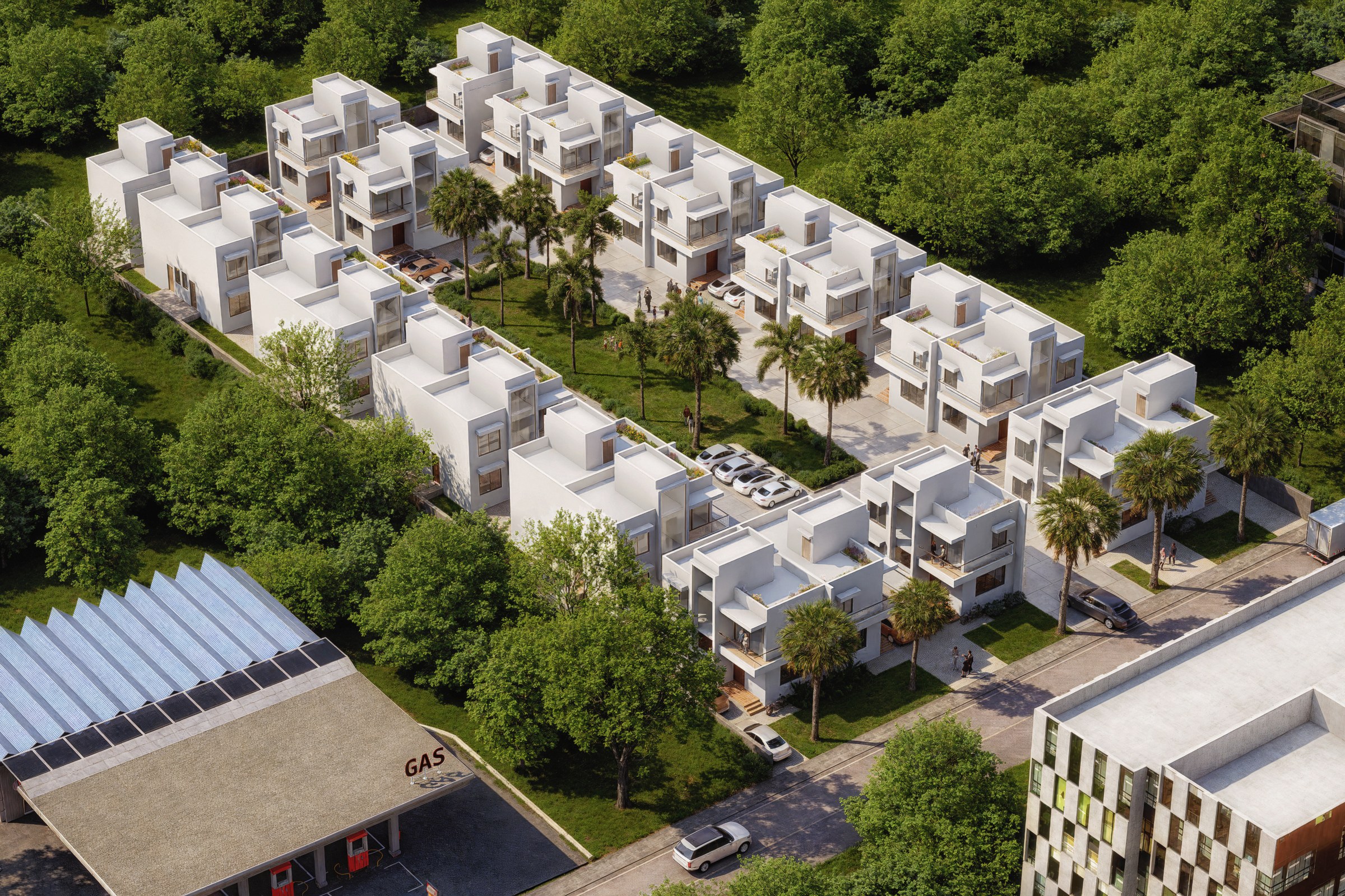
Aerial render of a dense modern white townhouse community with flat roofs arranged in organized rows, surrounded by lush greenery and a small gas station at the corner.
Project Overview
We picked up Modern Townhouse Community as a focused engagement: one hero image for a master plan project in Montreal, QC. Short timeline, high bar for quality.
Aerial render of a dense modern white townhouse community with flat roofs arranged in organized rows, surrounded by lush greenery and a small gas station at the corner.
The Result
We delivered the finished image within 1-2 weeks. It’s since been used across the project’s marketing materials, from digital listings to printed collateral.
Working on something similar? Let’s talk about your project — or browse more of our work.


