Mid Rise Apartment Block
Modern Residential Community Visualization
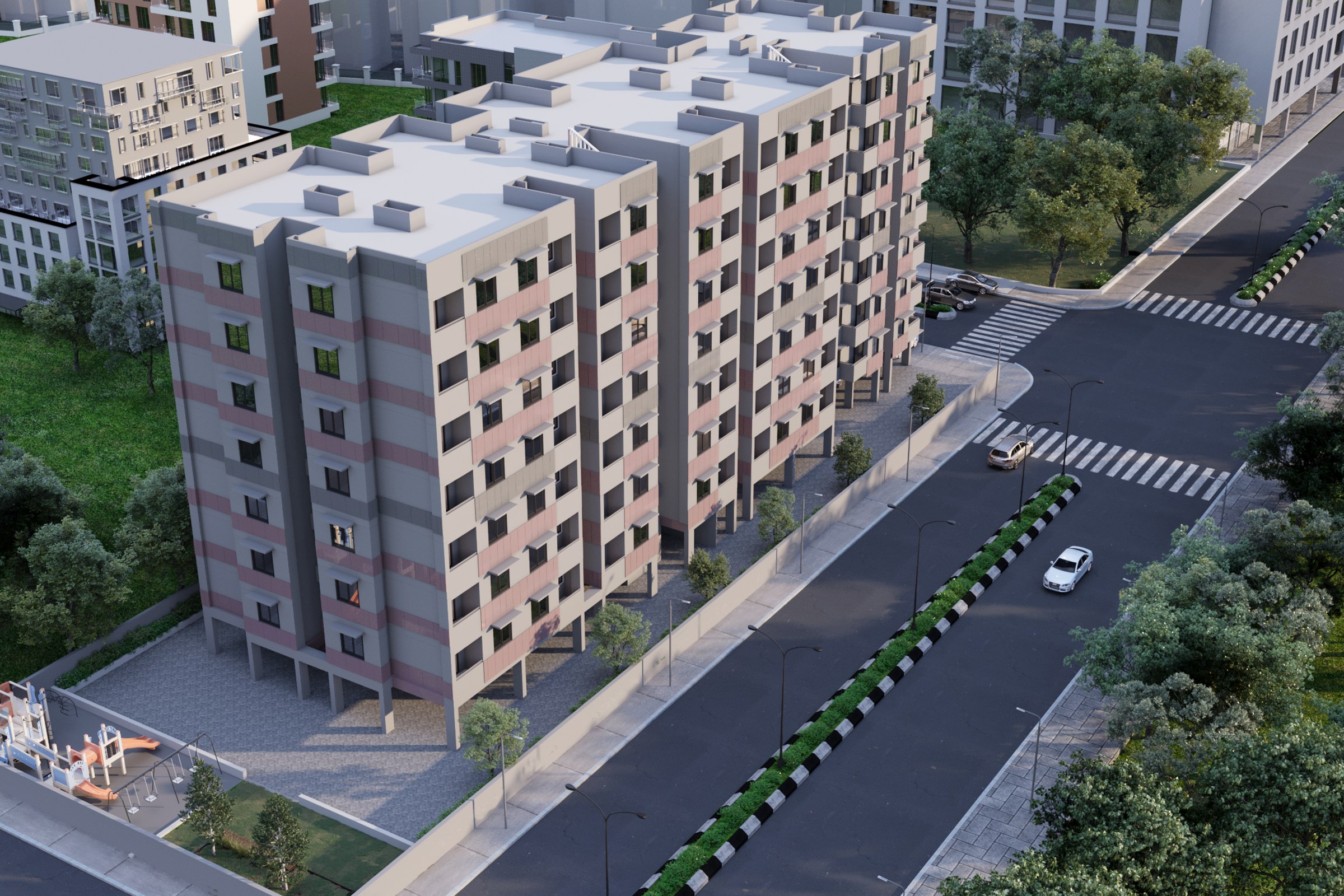
Aerial view of an L-shaped mid-rise apartment building (approximately 7-8 stories) in a pink and grey color scheme with street-level playground and adjacent urban buildings.
Project Overview
A master plan project in Park City, UT, Mid Rise Apartment Block came to us at the stage where the design was locked and the client needed one image — the definitive view — for their launch materials.
Aerial view of an L-shaped mid-rise apartment building (approximately 7-8 stories) in a pink and grey color scheme with street-level playground and adjacent urban buildings.
The Result
We delivered the finished image within 1-2 weeks. It’s since been used across the project’s marketing materials, from digital listings to printed collateral.
If this is the kind of quality you’re after, start a conversation with us. Or explore the full portfolio.


