Lemoyne Park Basketball Courts
Modern Site Plan Visualization
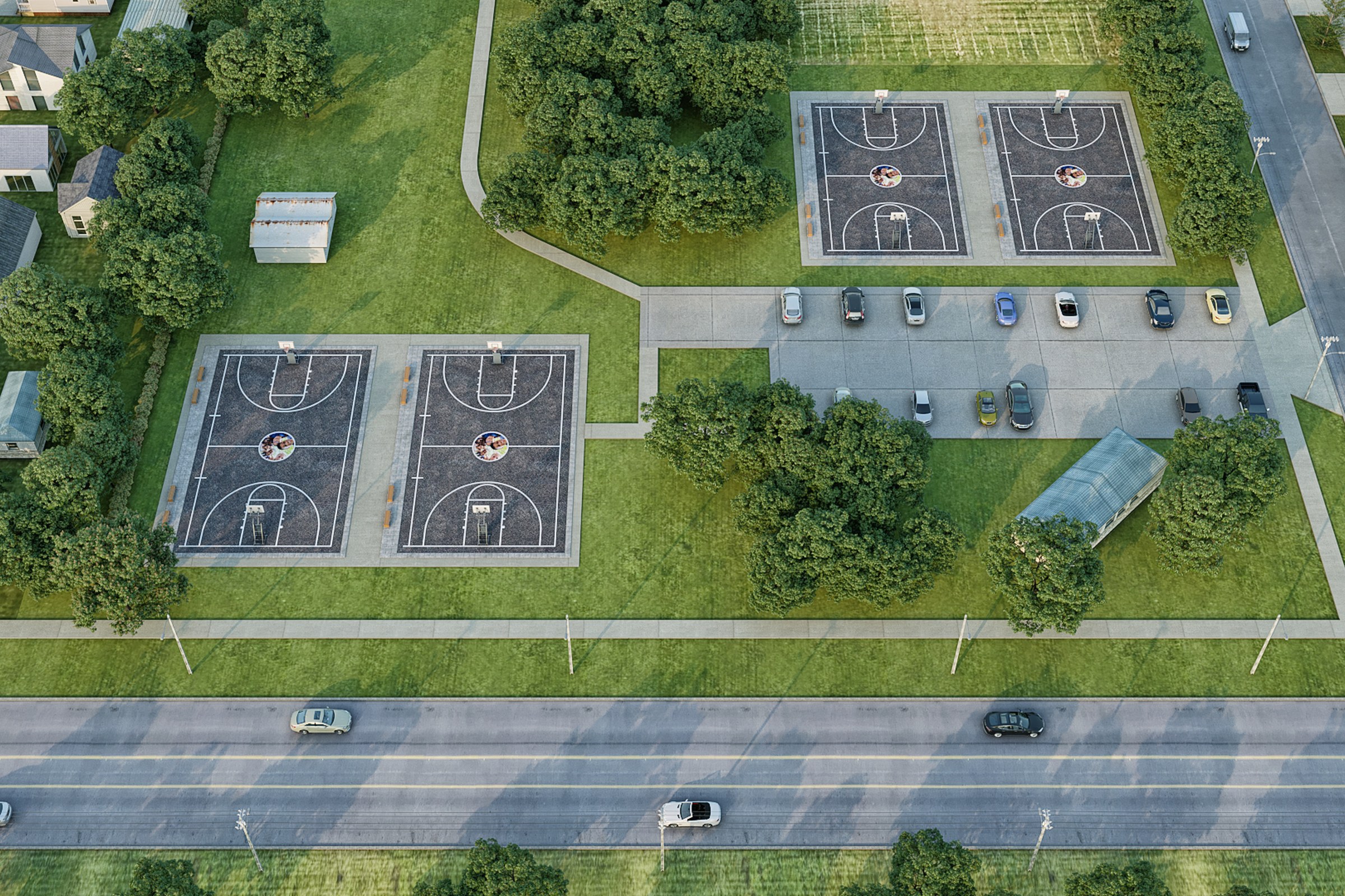
Birds-eye aerial render of a neighborhood park with four outdoor basketball courts, parking strip, surrounding mature trees, and adjacent residential homes.
Project Overview
The team behind Lemoyne Park Basketball Courts came to us with a clear ask — a single, definitive render that would capture the essence of this master plan project in Charlotte, NC.
Birds-eye aerial render of a neighborhood park with four outdoor basketball courts, parking strip, surrounding mature trees, and adjacent residential homes.
The Result
Turnaround was 1-2 weeks. The render now serves as the primary visual for the project — anchoring everything from the website header to the investor summary.
Have a project in mind? Drop us a brief and we’ll get back to you with a quote within a day. Or see what else we’ve done.


