Industrial Logistics Park
Modern Commercial Development Visualization
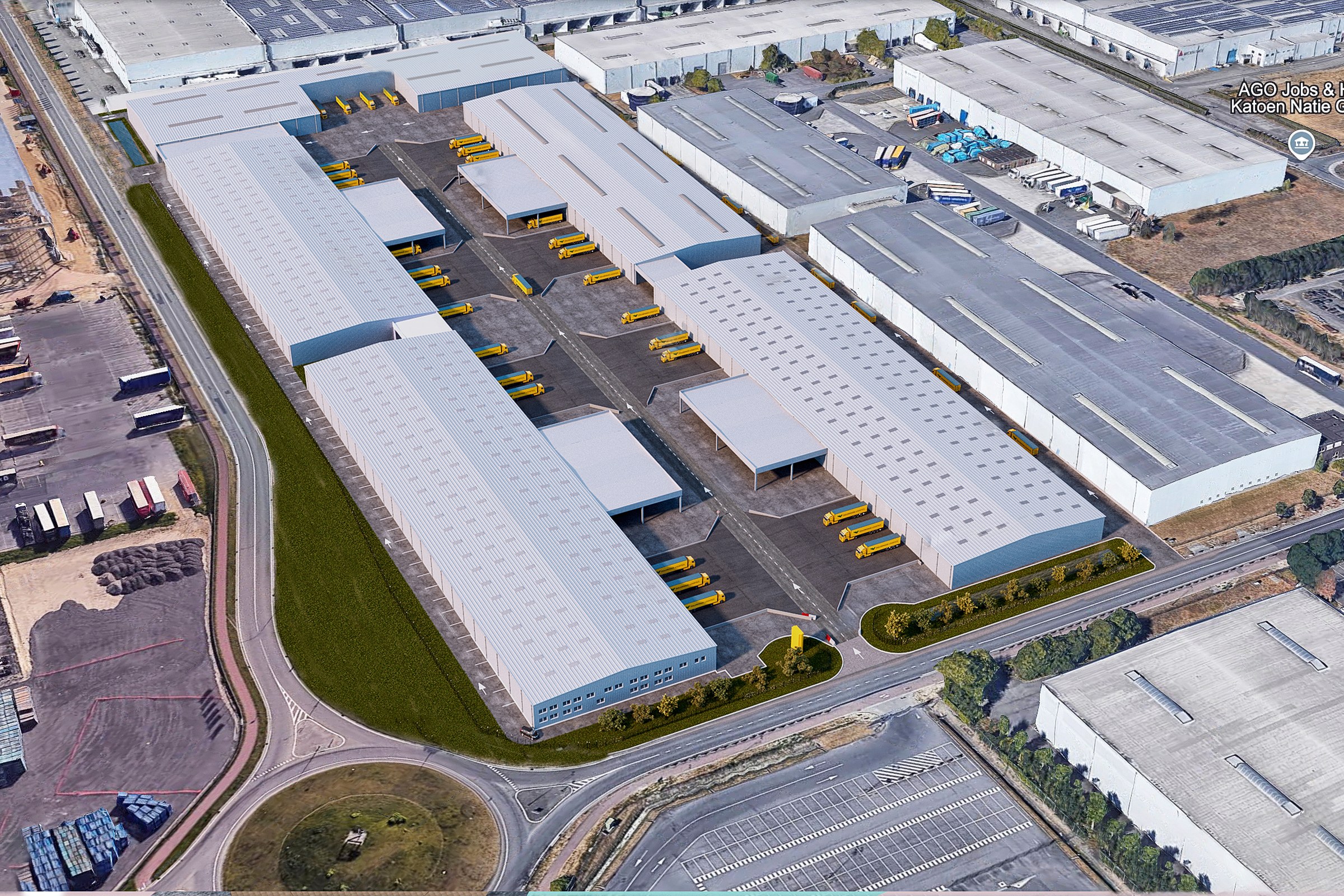
Aerial photograph of a large industrial logistics park with multiple white-roofed warehouses, yellow loading bays, surrounding roads, and industrial neighbors.
Project Overview
Industrial Logistics Park needed one image that could do it all: sell the vision, anchor the marketing, and give stakeholders something concrete to rally behind.
Aerial photograph of a large industrial logistics park with multiple white-roofed warehouses, yellow loading bays, surrounding roads, and industrial neighbors.
The Result
The final render was delivered within 1-2 weeks — on time, on brief, ready for immediate use in the real estate developer’s marketing and approval workflow.
Thinking about visualization for your next project? Reach out — we respond within 24 hours. Or keep exploring.


