Coastal Commercial Complex
Modern Commercial Development Visualization
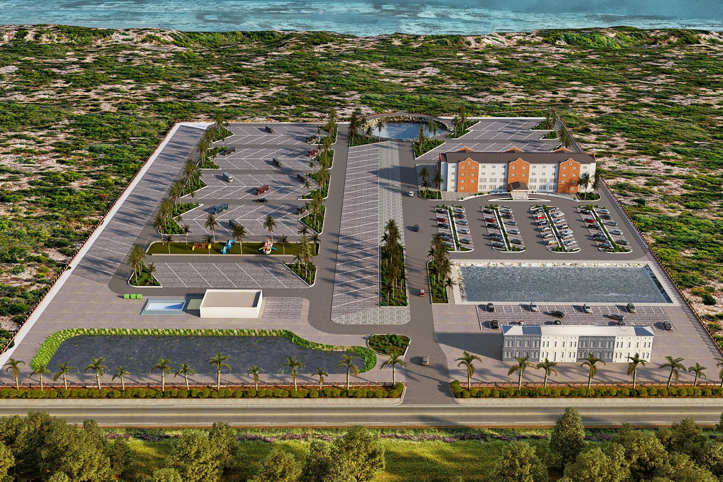
Aerial view of a coastal commercial campus with multiple buildings, large parking areas, palm-lined entry road, and ocean visible in the background.
Project Overview
Sometimes a single image is all it takes to make a design click. That was the brief for Coastal Commercial Complex — one hero render that would carry the weight of the entire presentation.
Aerial view of a coastal commercial campus with multiple buildings, large parking areas, palm-lined entry road, and ocean visible in the background.
The Result
The final output landed within 1-2 weeks. Clean, high-resolution, ready for print and screen. It’s been the visual backbone of this project’s public-facing materials.
Need renders for your own project? Tell us about it — we’d like to hear what you’re working on. Or see more work like this.


