Seamless Photomontage for Planning Approvals & Real-World Context
Photo-accurate composites that place your design into a real site photograph — the most credible visual evidence for planning, public engagement, and marketing.
I am a:
3D Praxis Studio creates architectural photomontages that composite 3D-rendered buildings into real site photographs. Used for planning applications, design reviews, and contextual presentations showing how a building fits its surroundings.
- Receive site photographs and architectural drawings
- Match camera angle, lens, and perspective to the photograph
- Build 3D model and render with matched lighting conditions
- Composite rendering into photograph with shadow and reflection matching
- Deliver verified photomontage with before/after comparison
What is a photomontage in architecture?
An architectural photomontage is a composite image that places a 3D-rendered building into a real photograph of the site. It shows how a proposed building will look in its actual context.
How much does an architectural photomontage cost?
Photomontages start at $399 per view. They require more precision than standard renderings because camera angle, lighting, and perspective must match the original photograph exactly.
Why & How
The Challenge & Our Approach
The Challenge
The Problem We Solve
Why This Matters
Planning Rejection Risk
Applications without strong visual evidence face more queries, more objections, and higher rejection rates. Planning committees need to see the proposal in its real context.
Community Opposition
Public consultations fail when residents cannot understand what a development will actually look like on their street. Abstract drawings create anxiety; realistic photomontages create informed discussion.
Context Disconnect
Standard CGI renders place buildings in generic environments. Without the real streetscape, vegetation, and neighbouring buildings, the visual evidence lacks credibility.
Credibility Gap
If your visuals look too 'computer generated,' stakeholders question their accuracy. Photomontage bridges the gap between CGI and reality by anchoring the render in a real photograph.
Our Approach
How We Work
Our Approach
Photo Matching
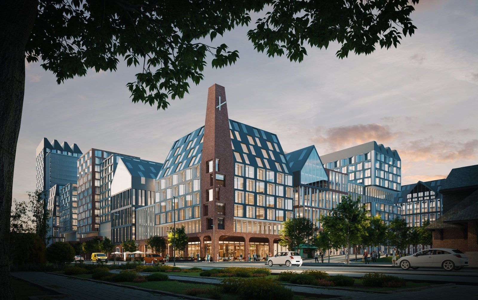
Photo Matching
We begin with a high-resolution photograph of the actual site, taken at the agreed viewpoint. The 3D camera is then precisely matched to the photograph's perspective, lens, and field of view.
- High-resolution site photography
- Agreed viewpoint selection
- Lens distortion correction
- Reference point identification
Calibration
Camera Calibration
Using known dimensions on site (building heights, road widths, surveyed points), we calibrate the 3D camera to match the exact perspective of the photograph.
- Surveyed reference point alignment
- Known-dimension calibration
- Focal length matching
- Vanishing point verification
Perspective
Perspective Alignment
The 3D model is positioned, scaled, and oriented to sit precisely within the photographic scene. Every edge, roofline, and ground plane aligns with the real-world geometry.
- Ground plane alignment
- Roofline and edge verification
- Scale accuracy to survey data
- Multi-point perspective check
Integration
Shadow Integration
Sun position, shadow direction, and ambient light are matched to the conditions in the photograph. The composite render sits naturally in the scene without visual disconnect.
- Sun-position matching to photo timestamp
- Shadow direction and softness
- Ambient occlusion at ground contact
- Atmospheric haze and colour grading
What You Get
Deliverables & Use Cases
What We Deliver
Who This Is For
Who This Is For
Built for Your Workflow
Architect
Planning-Ready Visual Evidence
Support your planning application with photomontages that meet verified view methodology requirements and demonstrate responsible contextual integration.
Developer
Community Engagement Visuals
Show residents and committees exactly what your development will look like from their street — building trust and reducing opposition.
Environmental Consultant
Visual Impact Assessments
Produce accurate before-and-after visual comparisons for environmental impact assessments and landscape character appraisals.
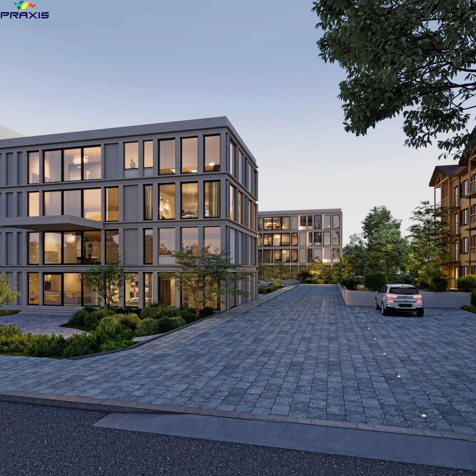
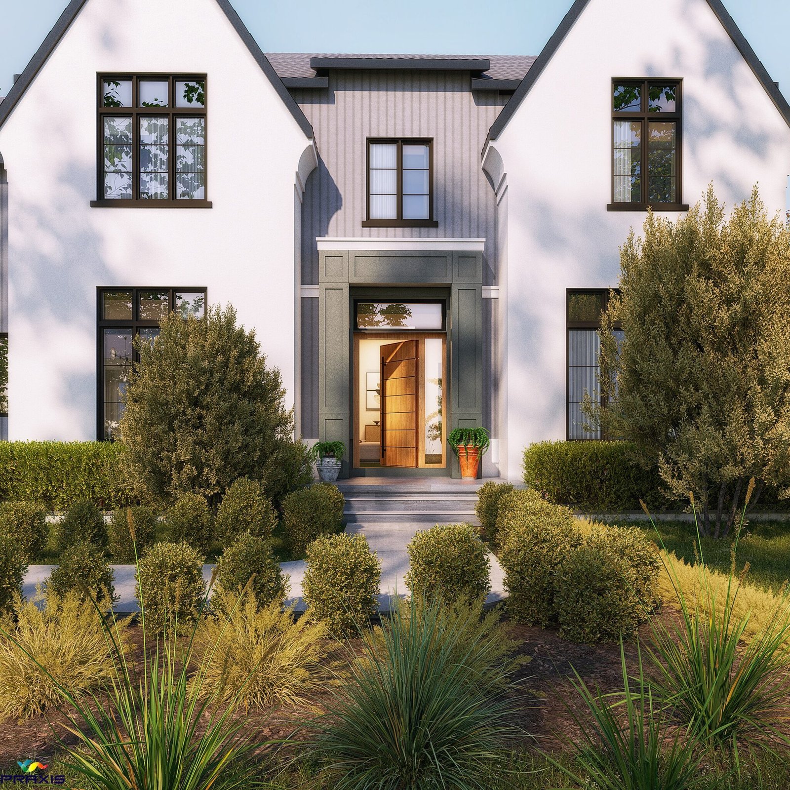
Portfolio
See It in Action
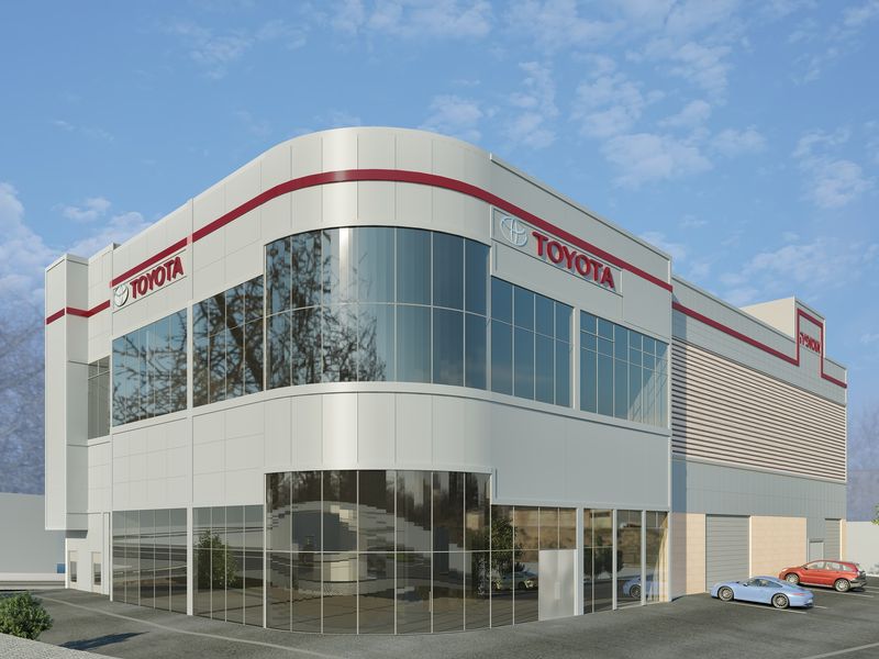
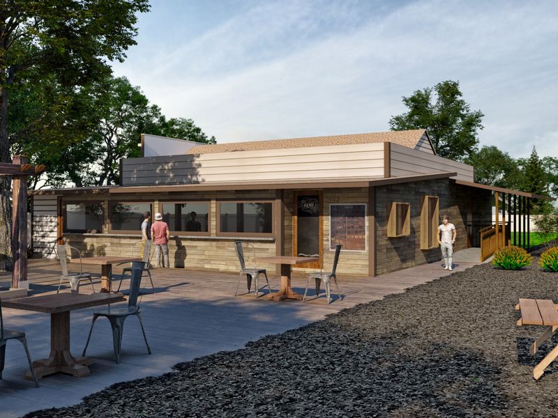
Showing 2 projects
How It Works
Our Process
Briefing
We review your files, discuss your goals, and agree on scope, deliverables, and timeline.
Production
Our team builds the scene, develops materials and lighting, and presents drafts for your feedback.
Delivery
Final output in your required formats — print-ready, web-optimized, and presentation-grade.
Pricing & Questions
Investment & FAQ
Investment Philosophy
Pricing
Transparent, Scope-Matched Pricing
Every project is different. We provide a fixed quote after understanding your scope — no hourly billing surprises, no hidden fees.
Get a QuoteFixed Quote
You receive a clear, all-inclusive price before work begins. The quote covers site photo processing, 3D modelling, compositing, and post-production.
Scope-Matched
Pricing reflects the number of viewpoints, methodology requirements, and complexity of the site conditions.
Revisions Included
Two rounds of revisions are built into every quote. Material adjustments, lighting refinements, and landscaping changes are covered.
Common Questions
Is this suitable for planning applications?
Yes. Photomontage is widely used in planning applications and environmental impact assessments. If your local authority has specific methodology requirements (e.g., Landscape Institute guidelines, verified view methodology), let us know and we will ensure compliance.
What is the difference between a photomontage and a standard exterior render?
A standard exterior render places the building in a fully computer-generated environment. A photomontage integrates the building into a real photograph of the actual site, preserving the genuine surroundings and conditions. Photomontages are typically considered more credible for planning and public engagement because the context is verifiably real.
Can you match specific weather or lighting conditions?
The composite will match the conditions captured in the site photograph. If you need specific conditions (e.g., overcast sky for neutral lighting, or blue sky for marketing), we will advise on when to take the photographs.
How many viewpoints do you recommend?
Typically 2-4 viewpoints provide sufficient coverage for a planning submission. Marketing-focused projects may benefit from additional angles. We will recommend viewpoints during the briefing stage.
How long does a photomontage take?
A single photomontage viewpoint typically takes 5-7 working days from receipt of photos and design data. Multi-viewpoint packages are quoted individually.
Related Services
You Might Also Need
3D Architectural Exterior Rendering Services
Photoreal exterior renders that communicate design intent and build buyer confidence.
Explore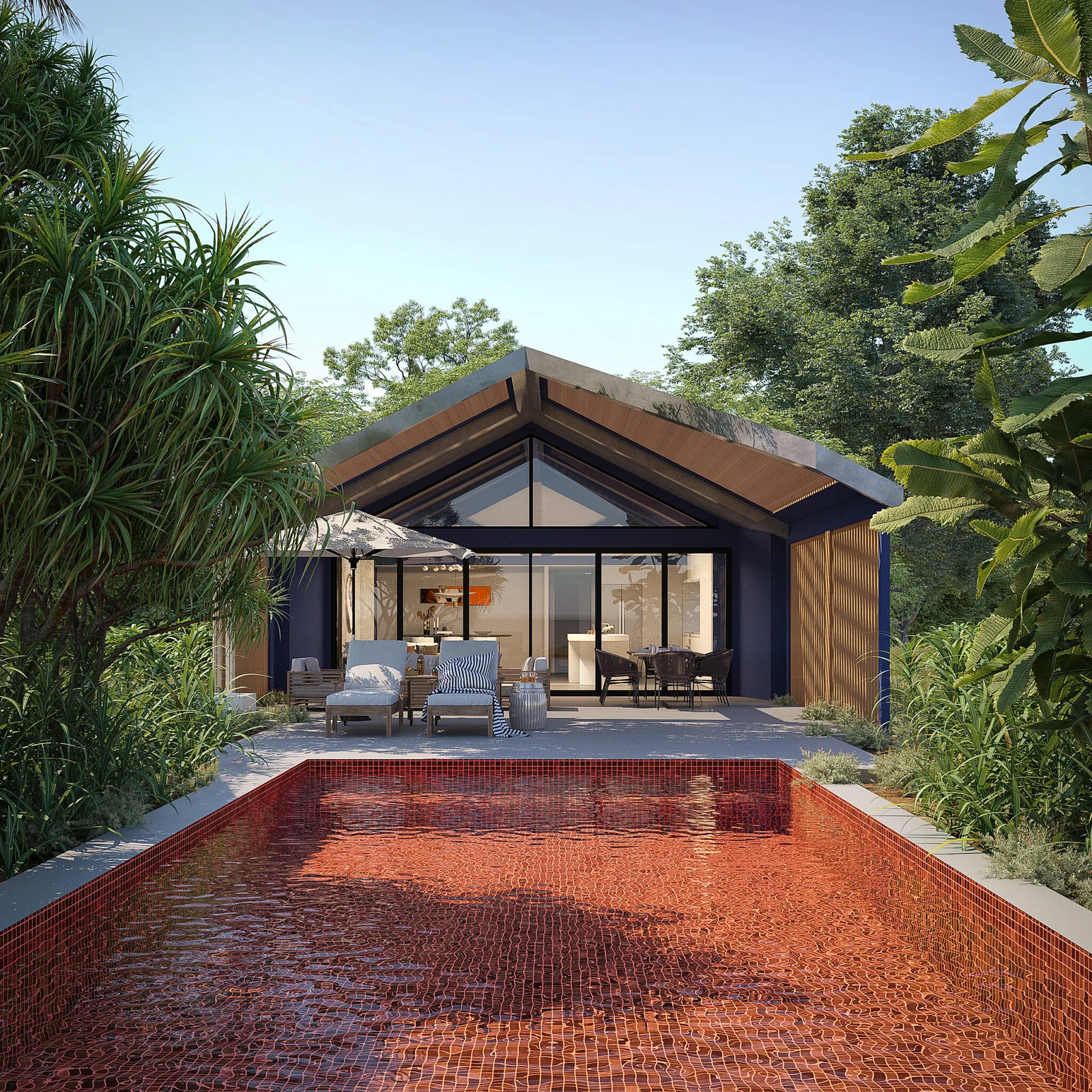
3D Architectural Animation Services
Story-driven 3D walkthroughs and flythrough animations for architectural projects.
Explore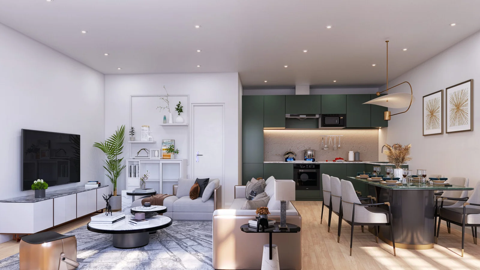
3D Floor Plans
3D floor plans that make layouts instantly understandable for buyers and tenants.
ExploreReal Projects
Case Studies
See how we've applied this service to real architectural projects.
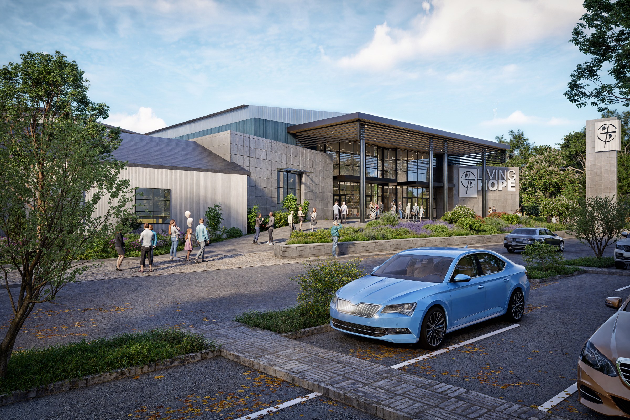
Project 104 Living Hope Church — Case Study
Mies Design Group — 4 photorealistic exterior renders across eye-level viewpoints
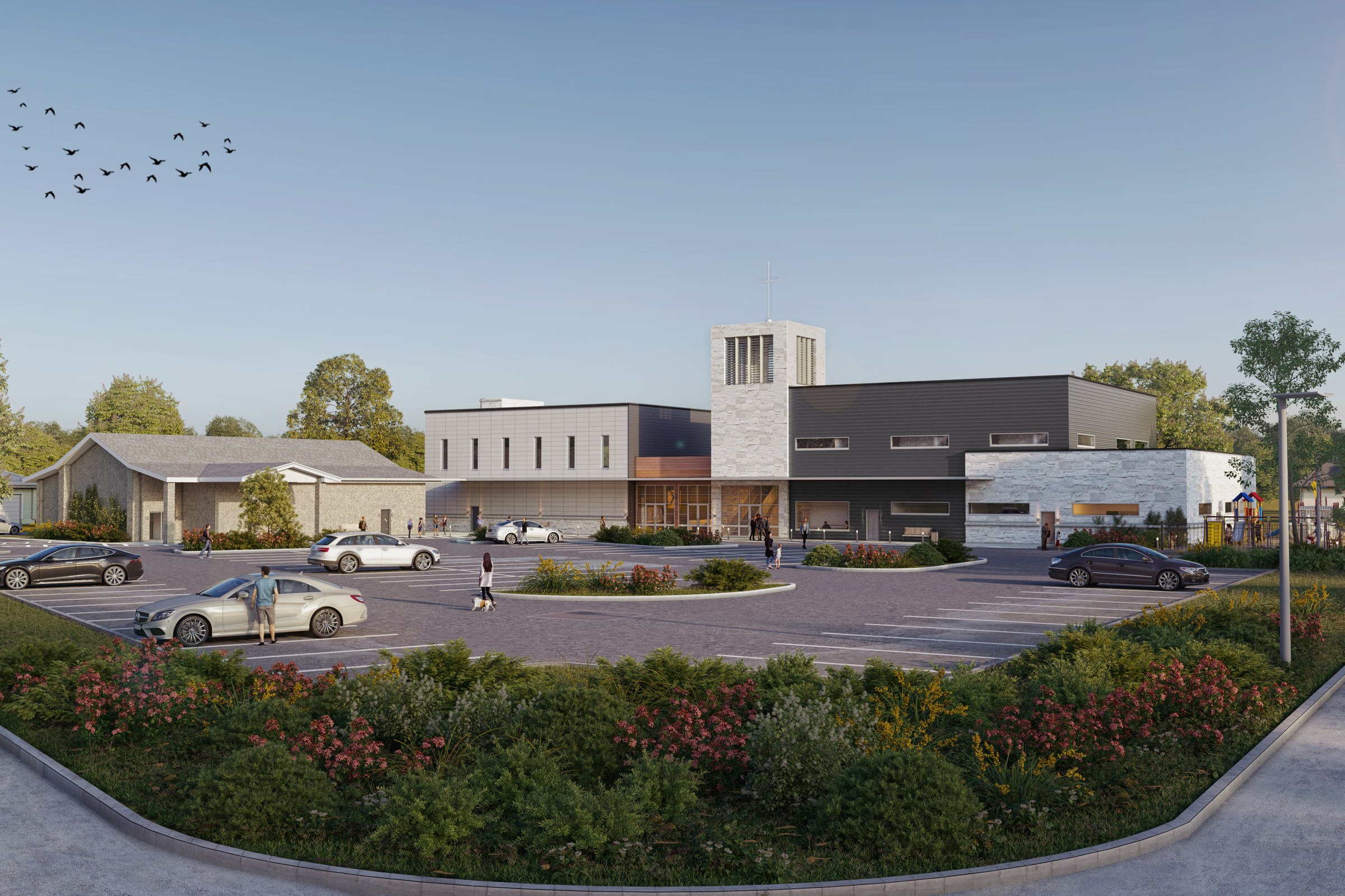
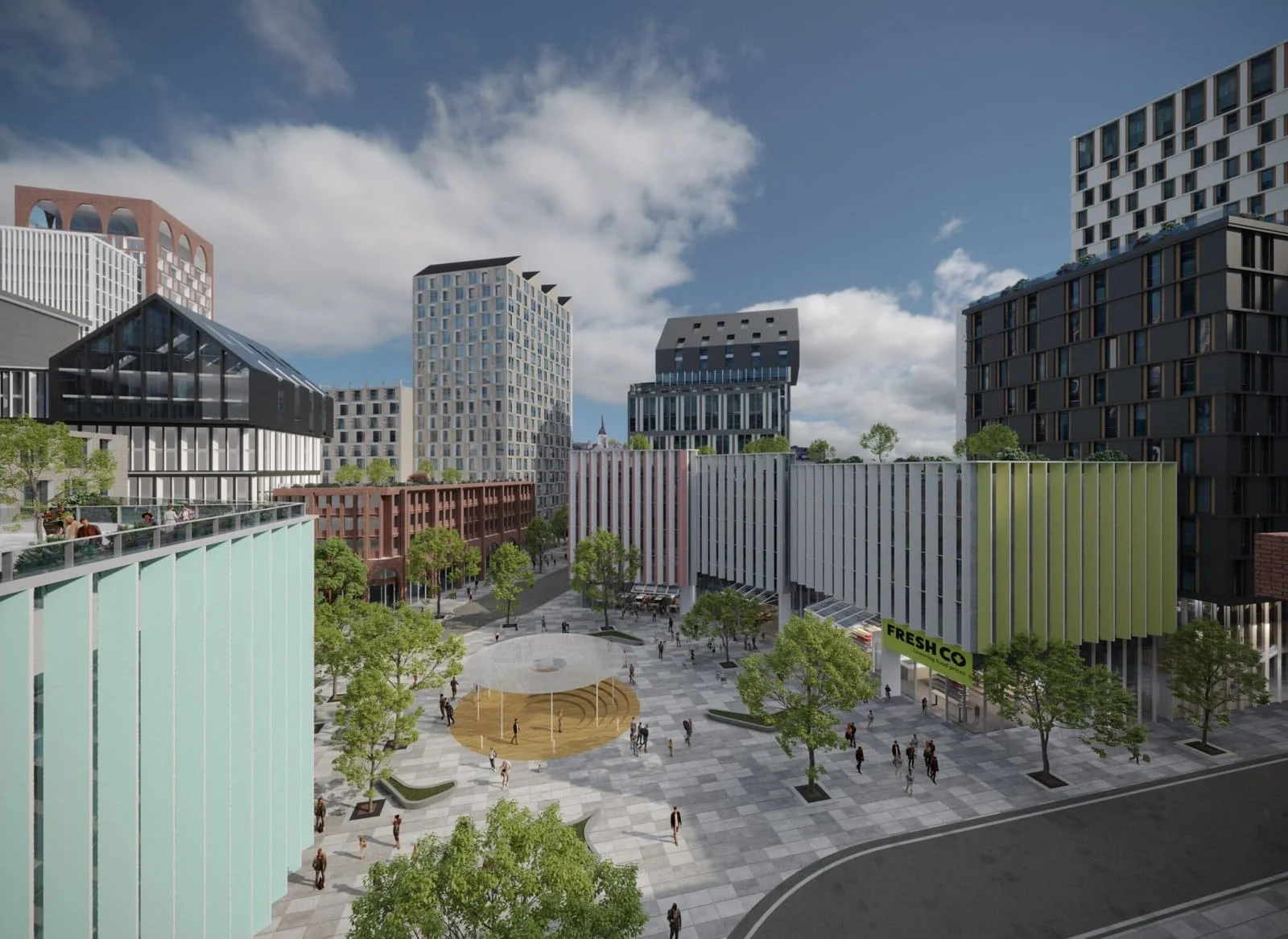
Project 72 Church Complex — Case Study
Gehry Architects — 5 photorealistic exterior renders across eye-level viewpoints
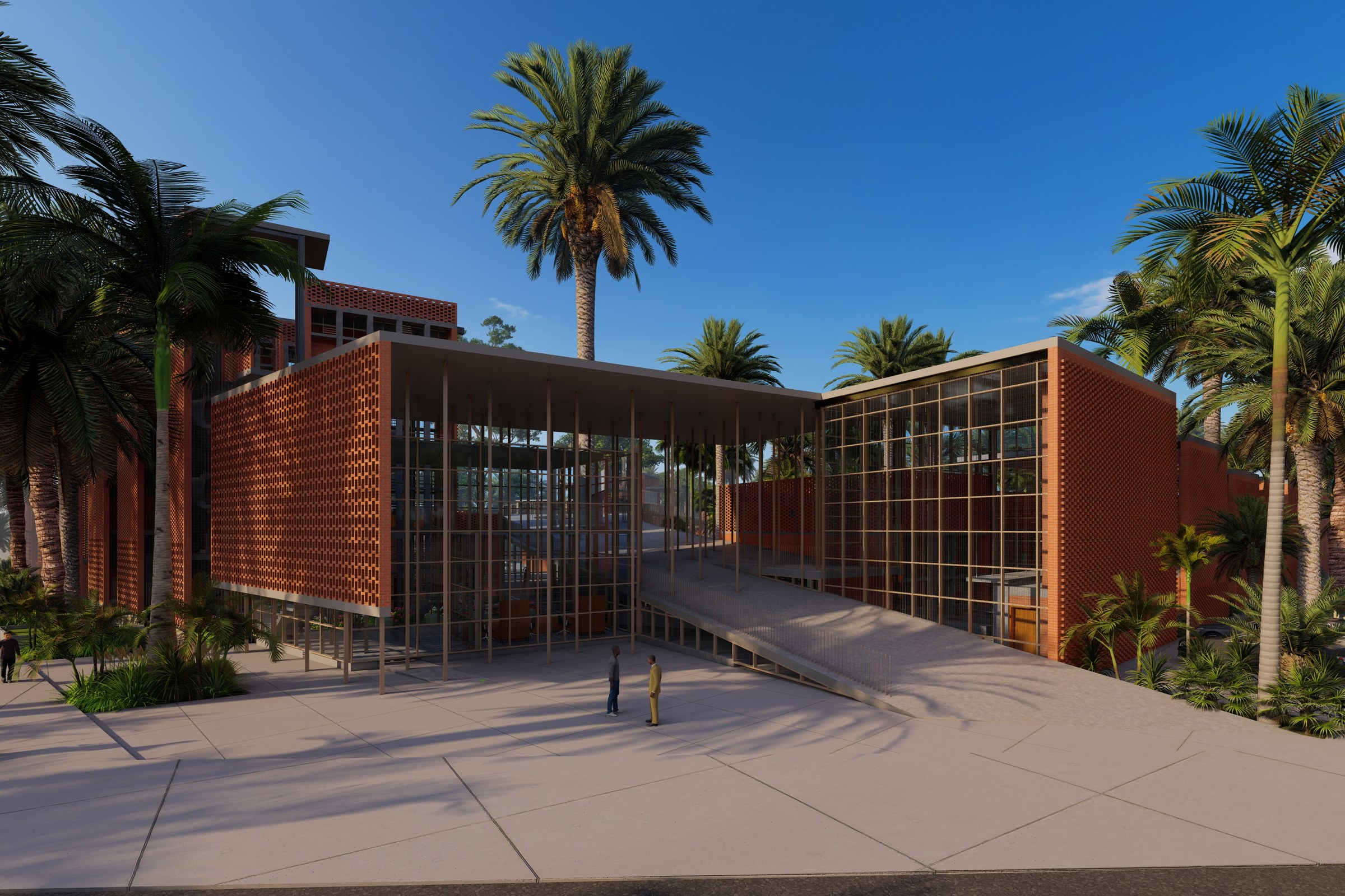
Project Tropical Campus — Case Study
Mies Design Group — 6 photorealistic exterior renders across aerial, eye-level, low-angle viewpoints
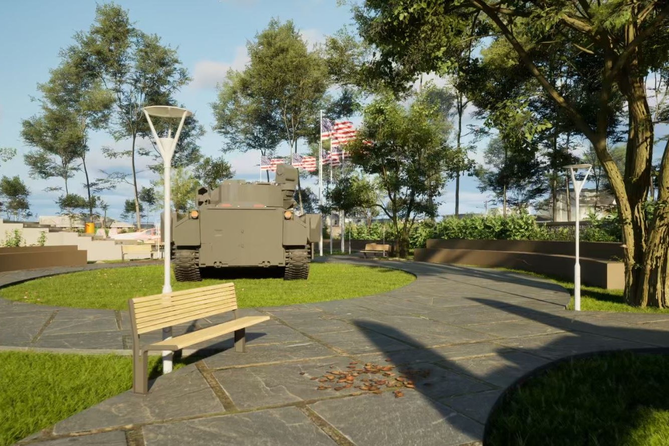
Veterans Memorial Park — Case Study
Confidential — 6 photorealistic exterior renders across eye-level, elevated, eye-level-centered viewpoints
Ready to get started with architectural photomontage?
Contact us for a free consultation and detailed quote tailored to your project requirements.


